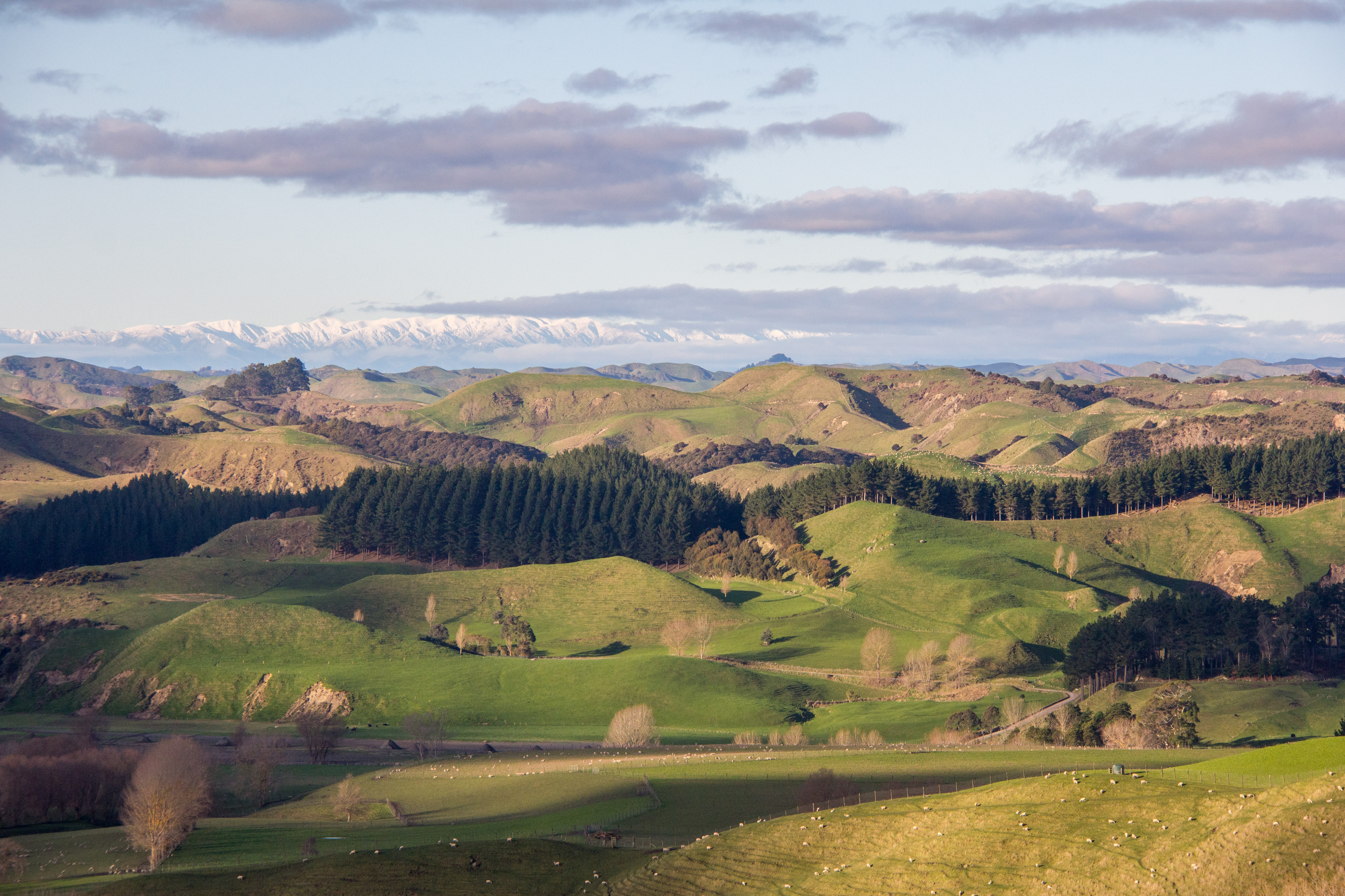
One of the fantastic things about New Zealand is the epic vistas we have all about us. A vista being a large piece of scenery although I’m not sure that description would stand up to examination in a dictionary. I think vista is actually a distant view. What I’ve put together here is a selection of some of the amazing sights you see when you travel from A to B. Like my other posts, no special trip required, this is the scenery we see every day if we leave the house. It also helps if we leave the city but it’s not a long journey from anywhere to this stuff. Once you travel to New Zealand that is. This is winter time round here.
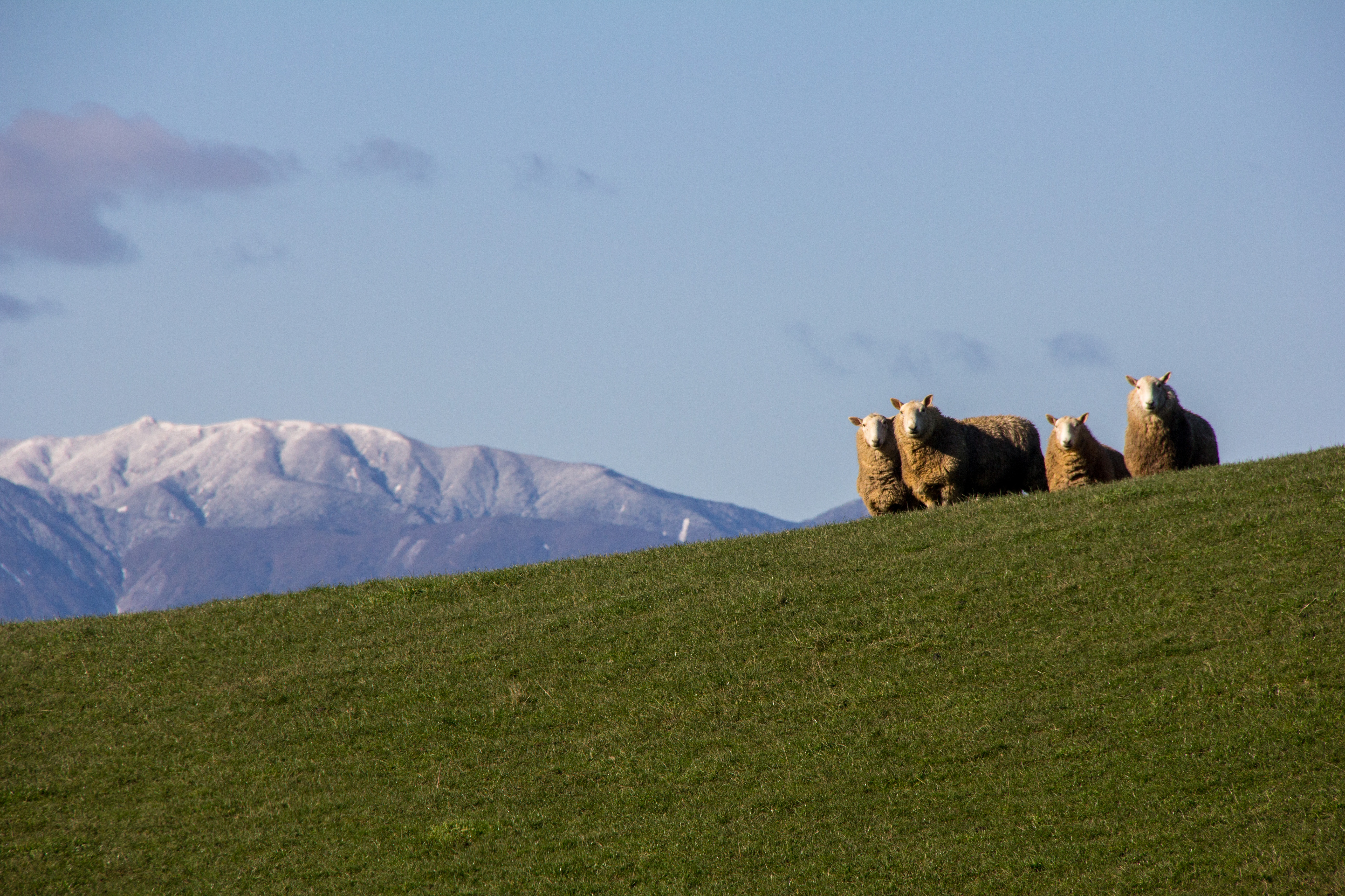
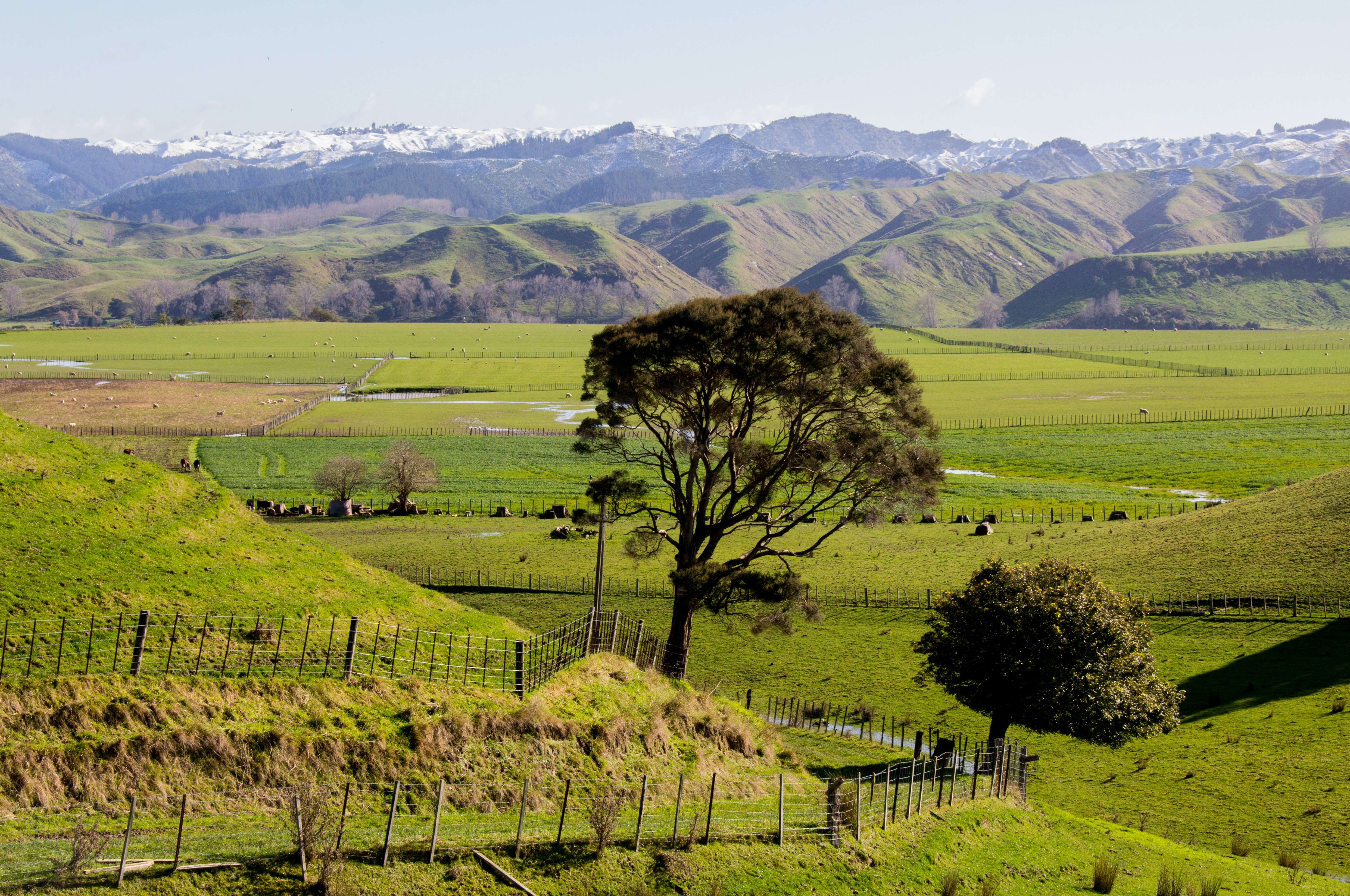
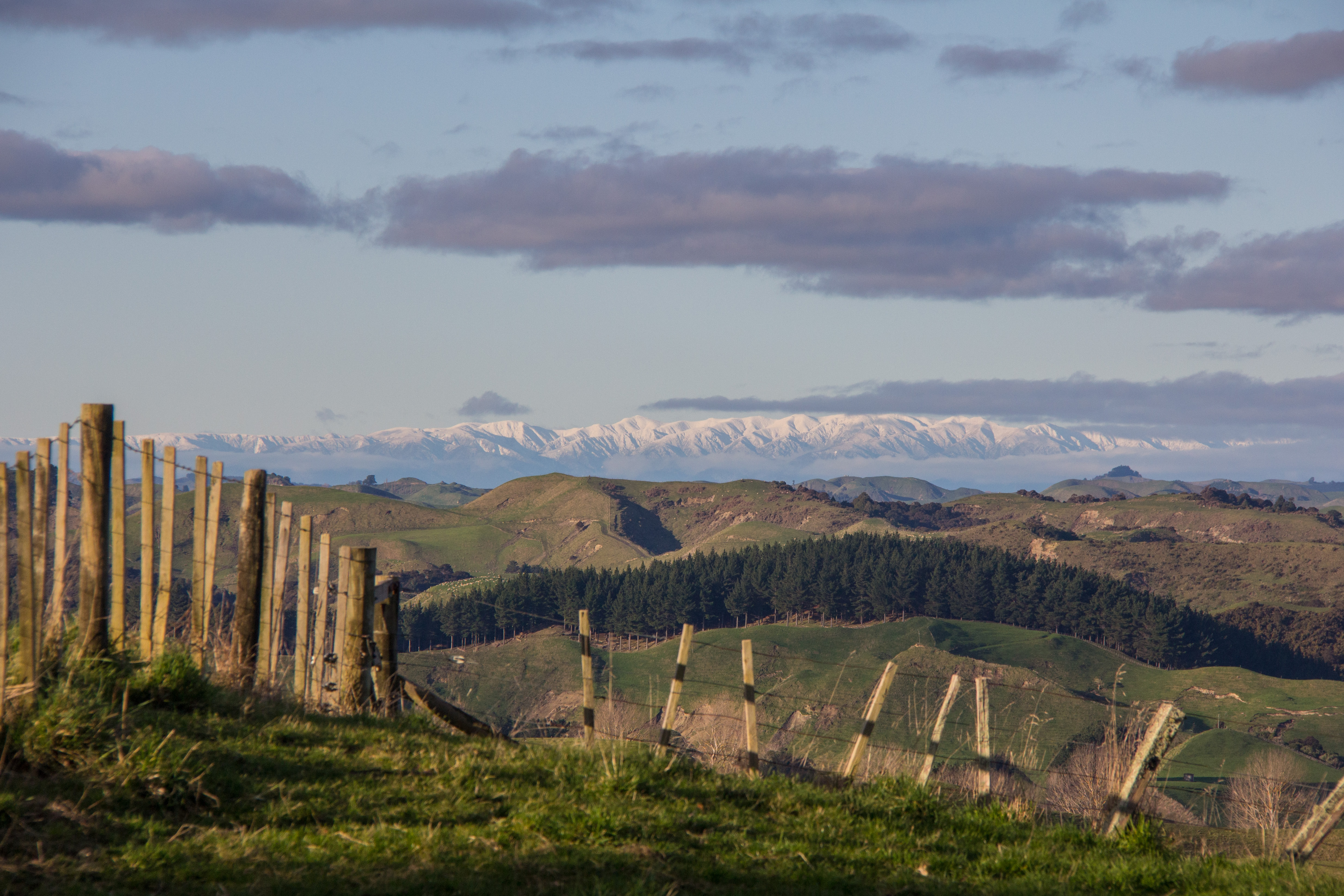
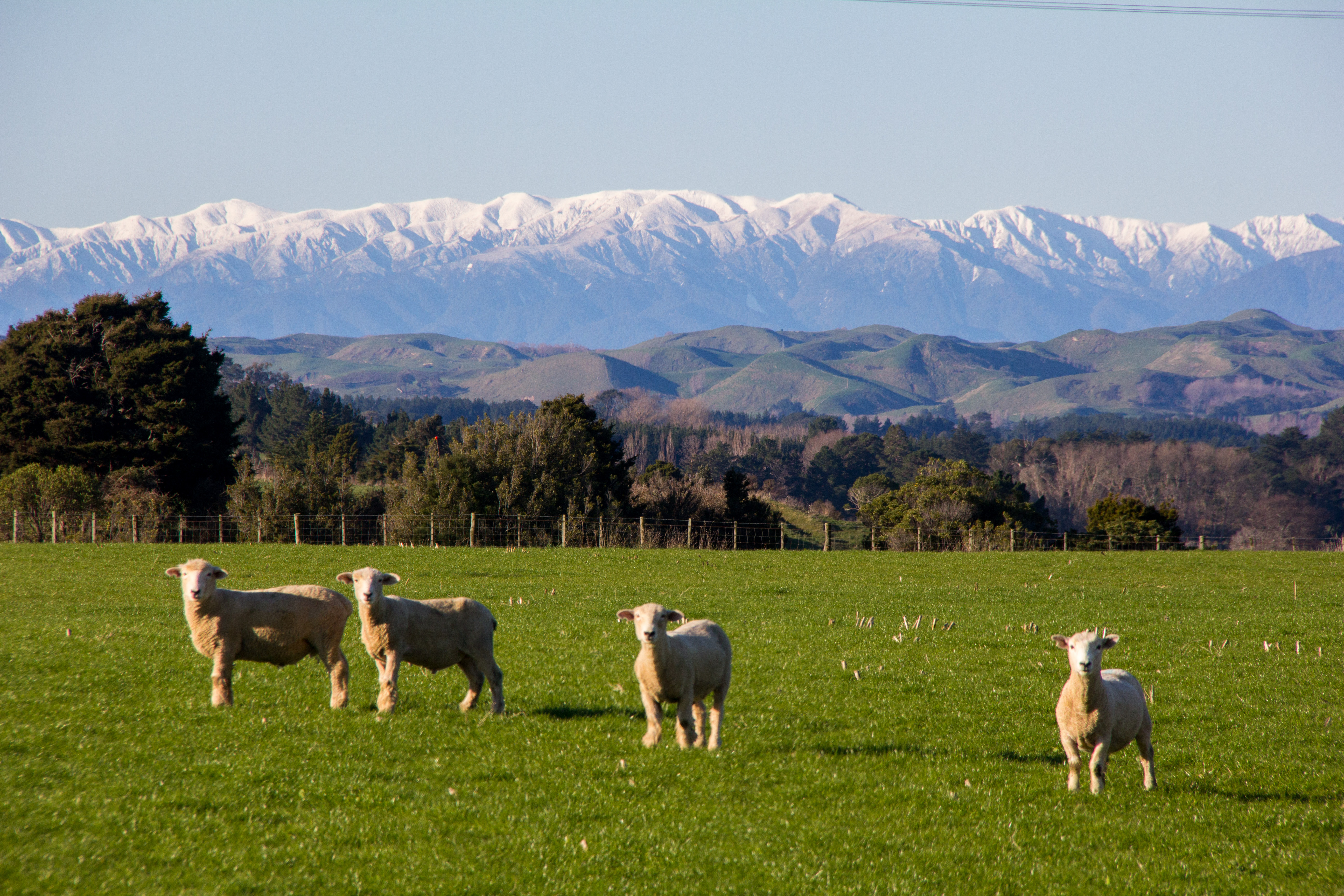
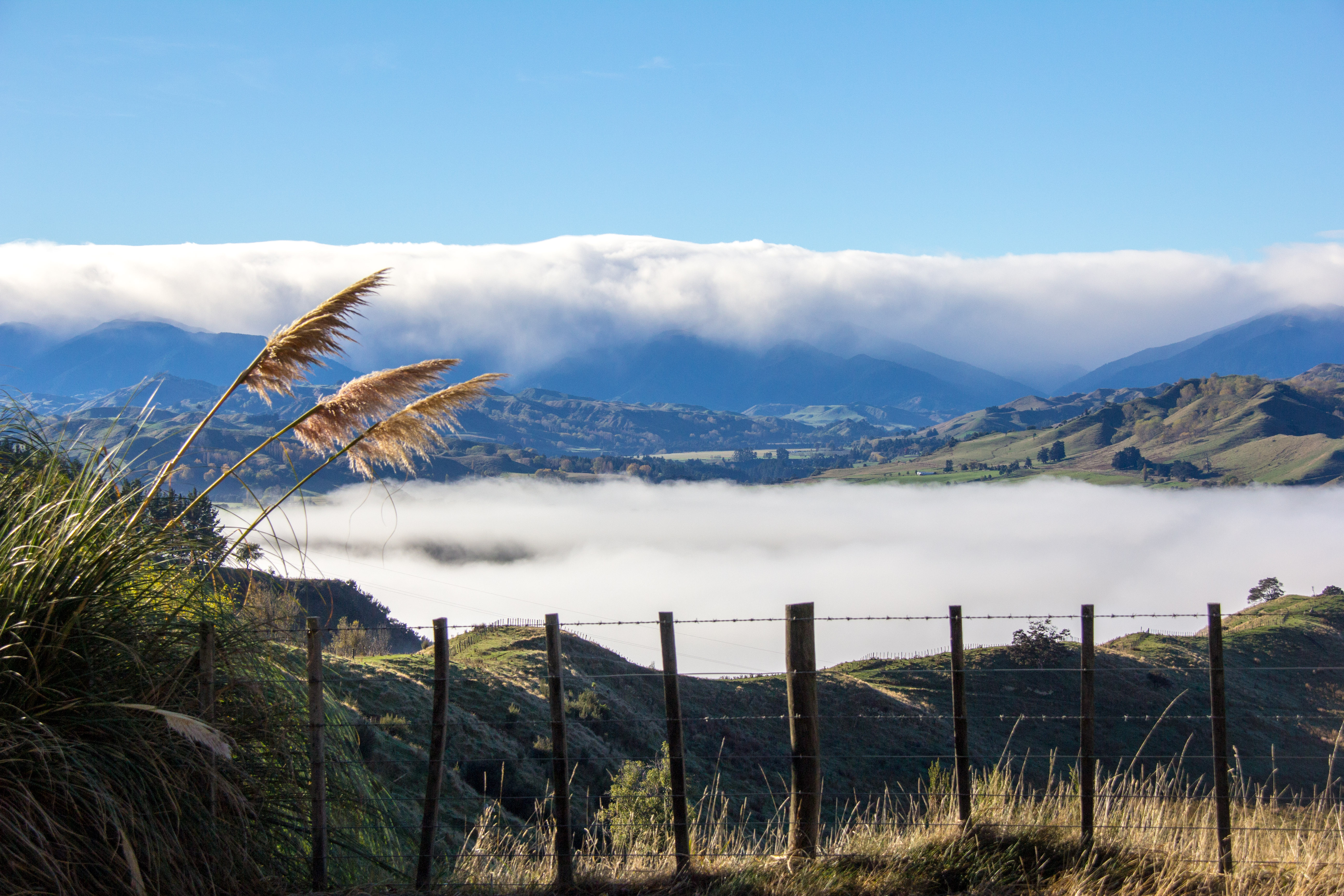
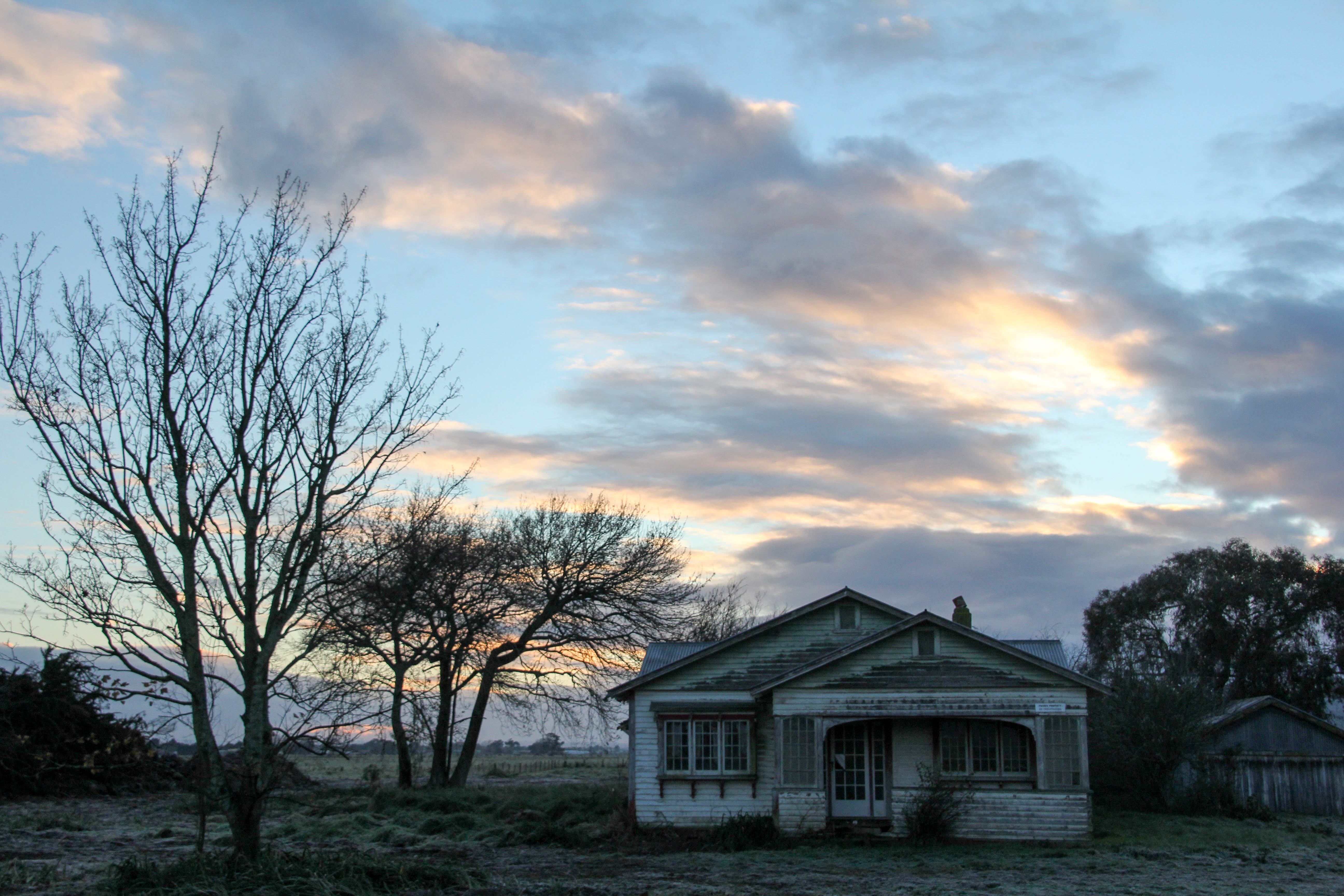
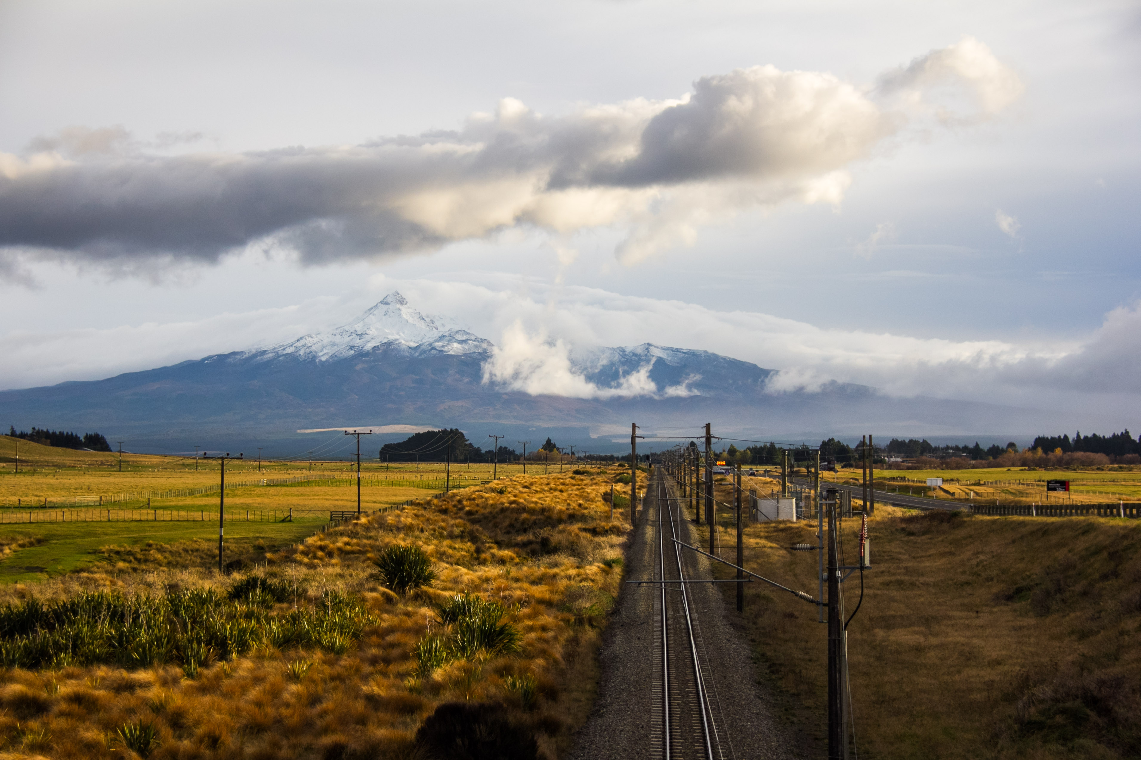
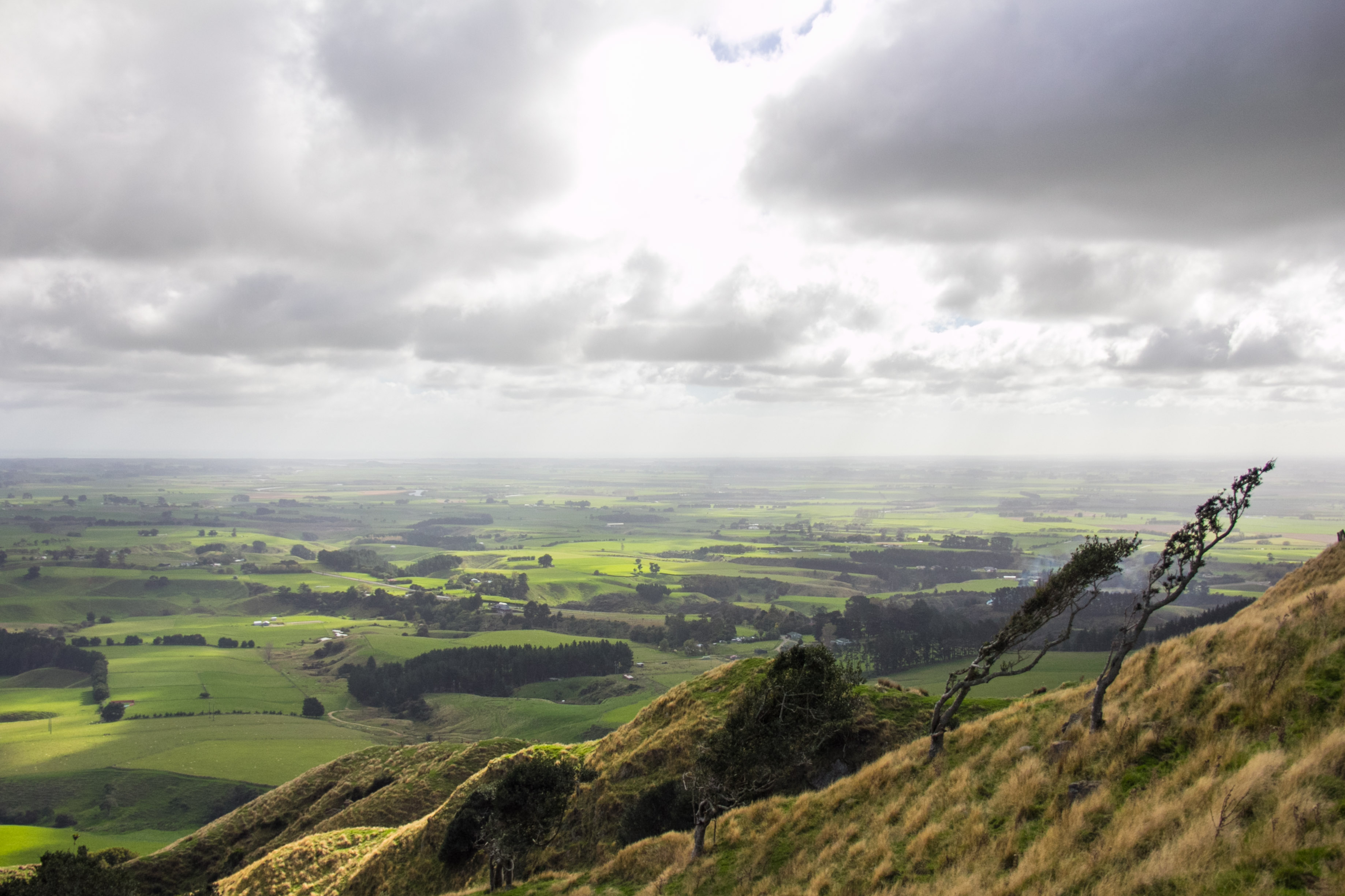
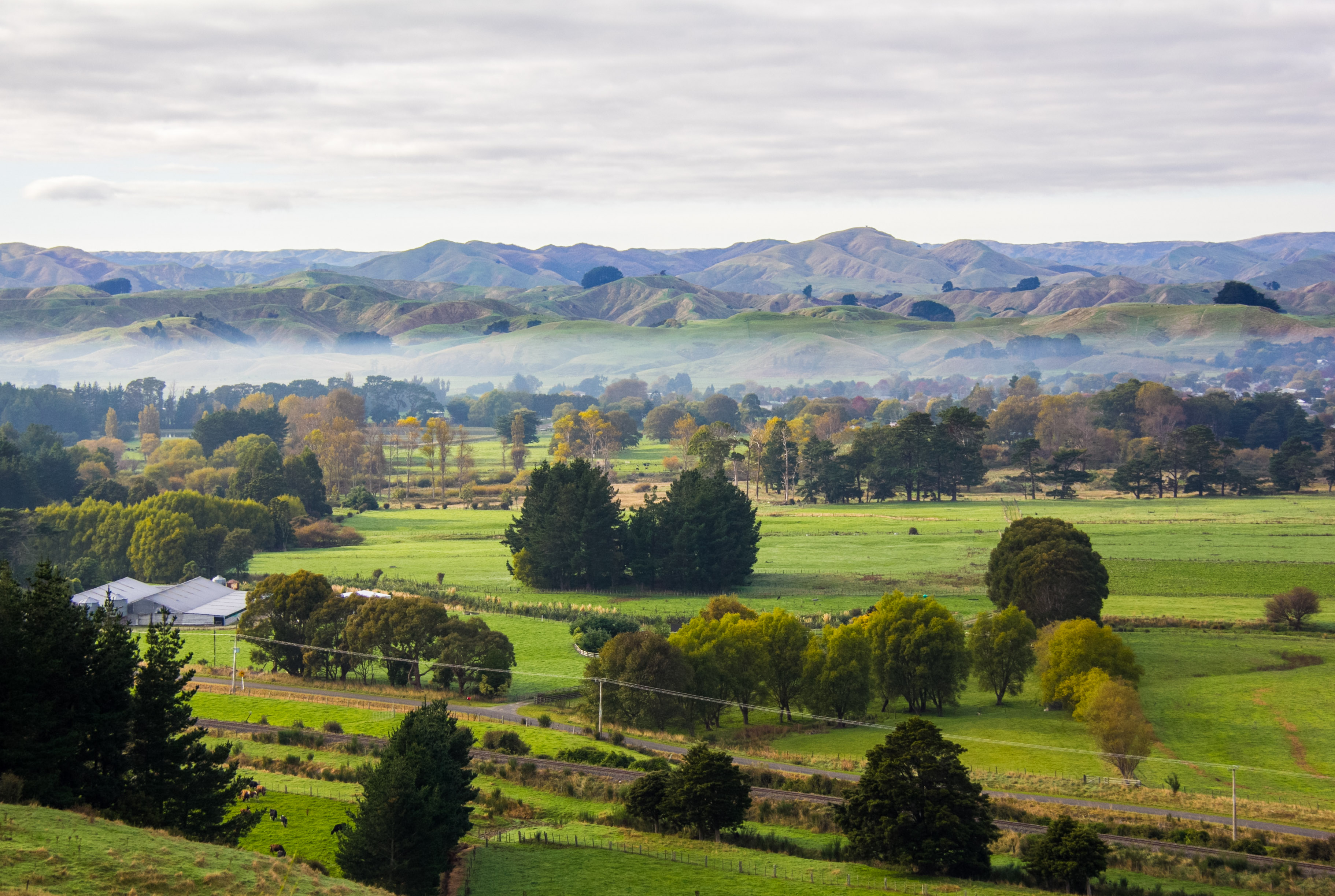
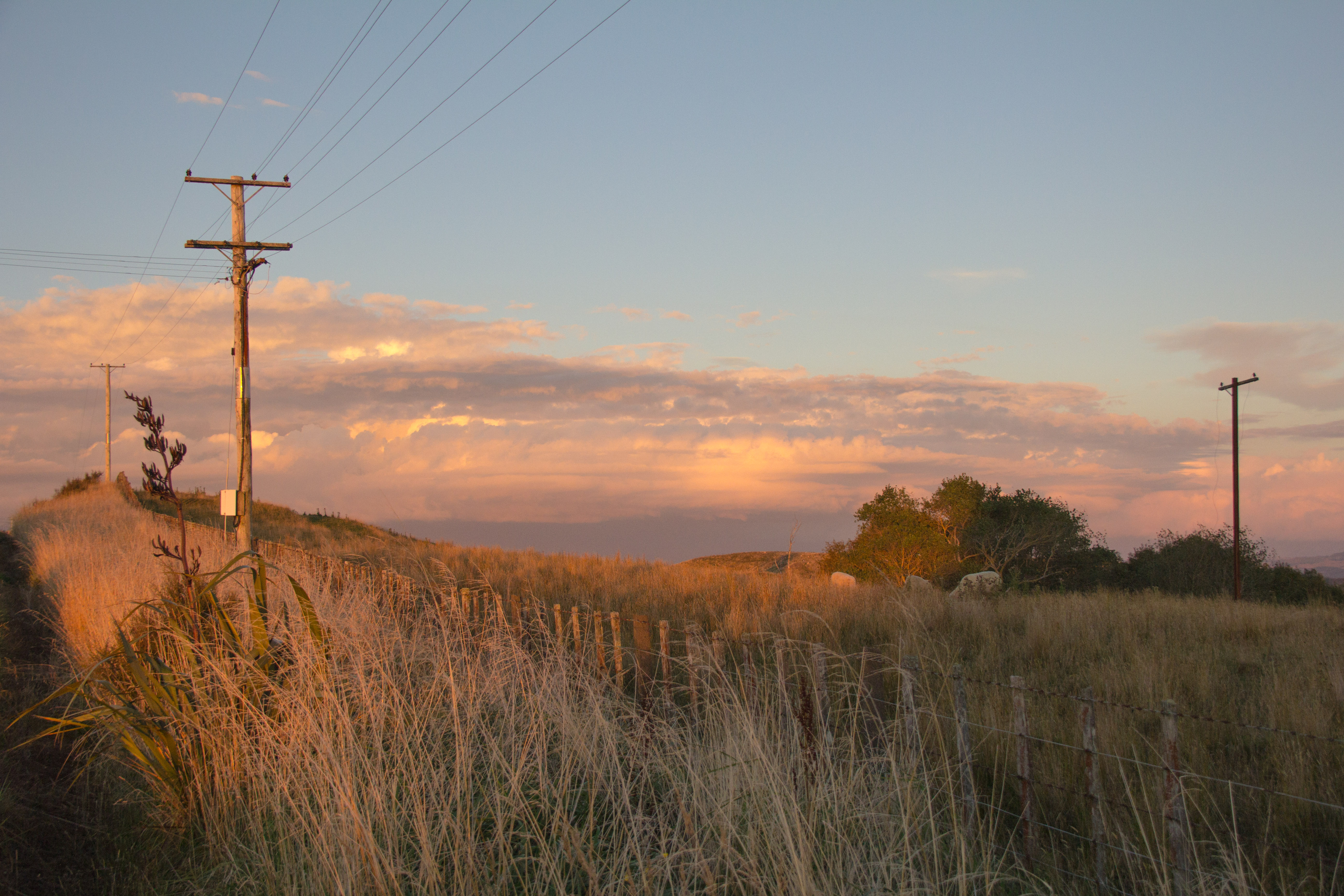
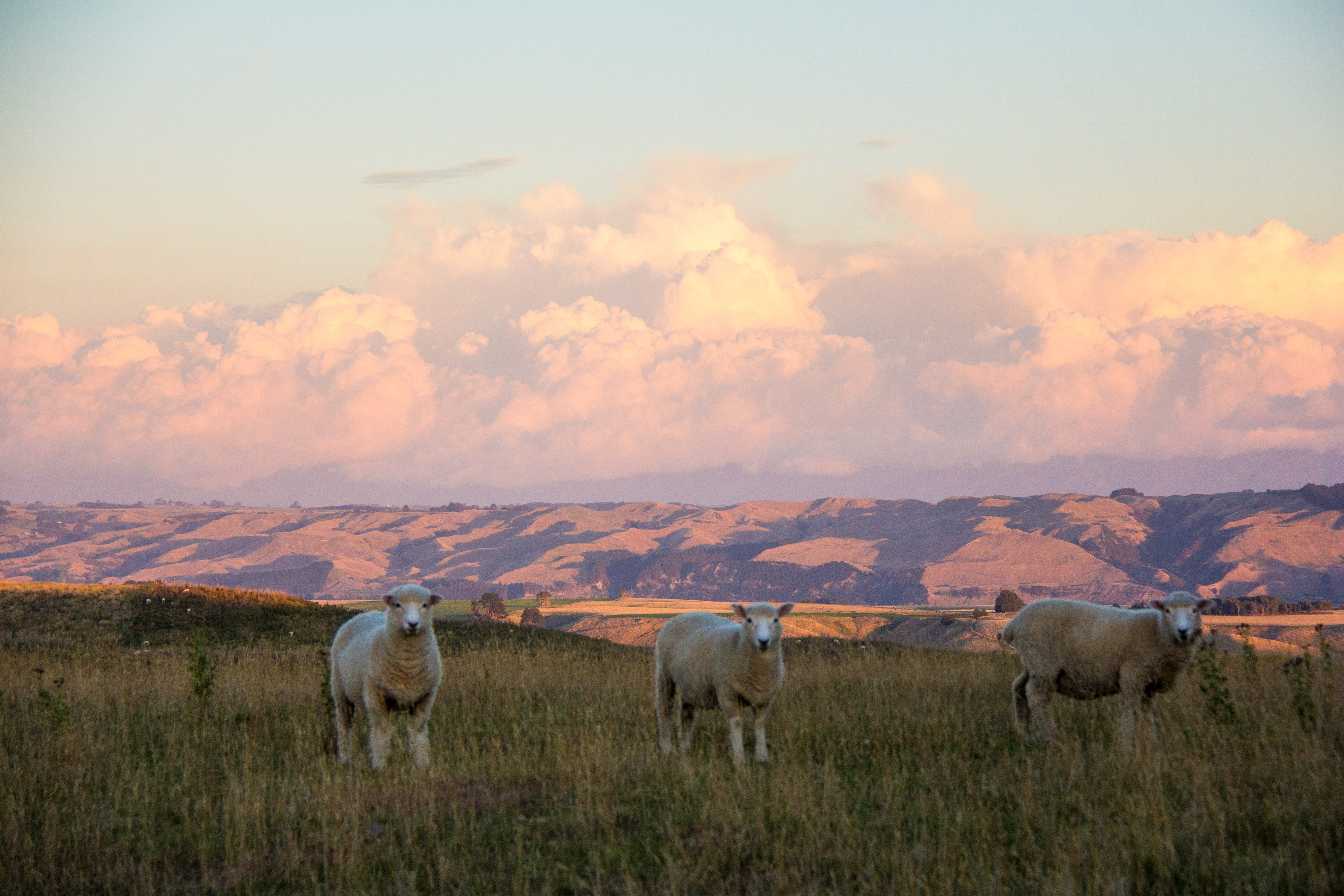
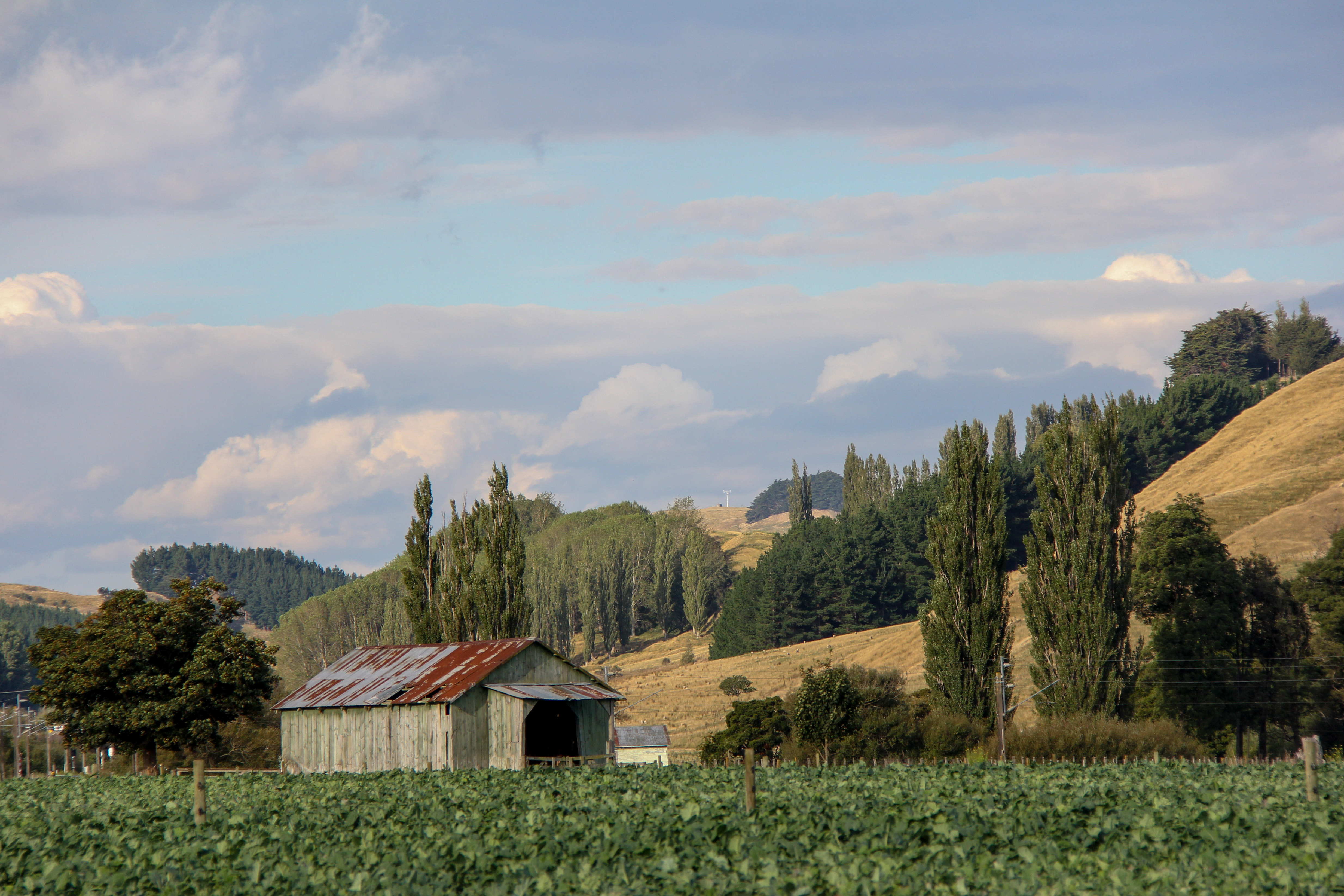
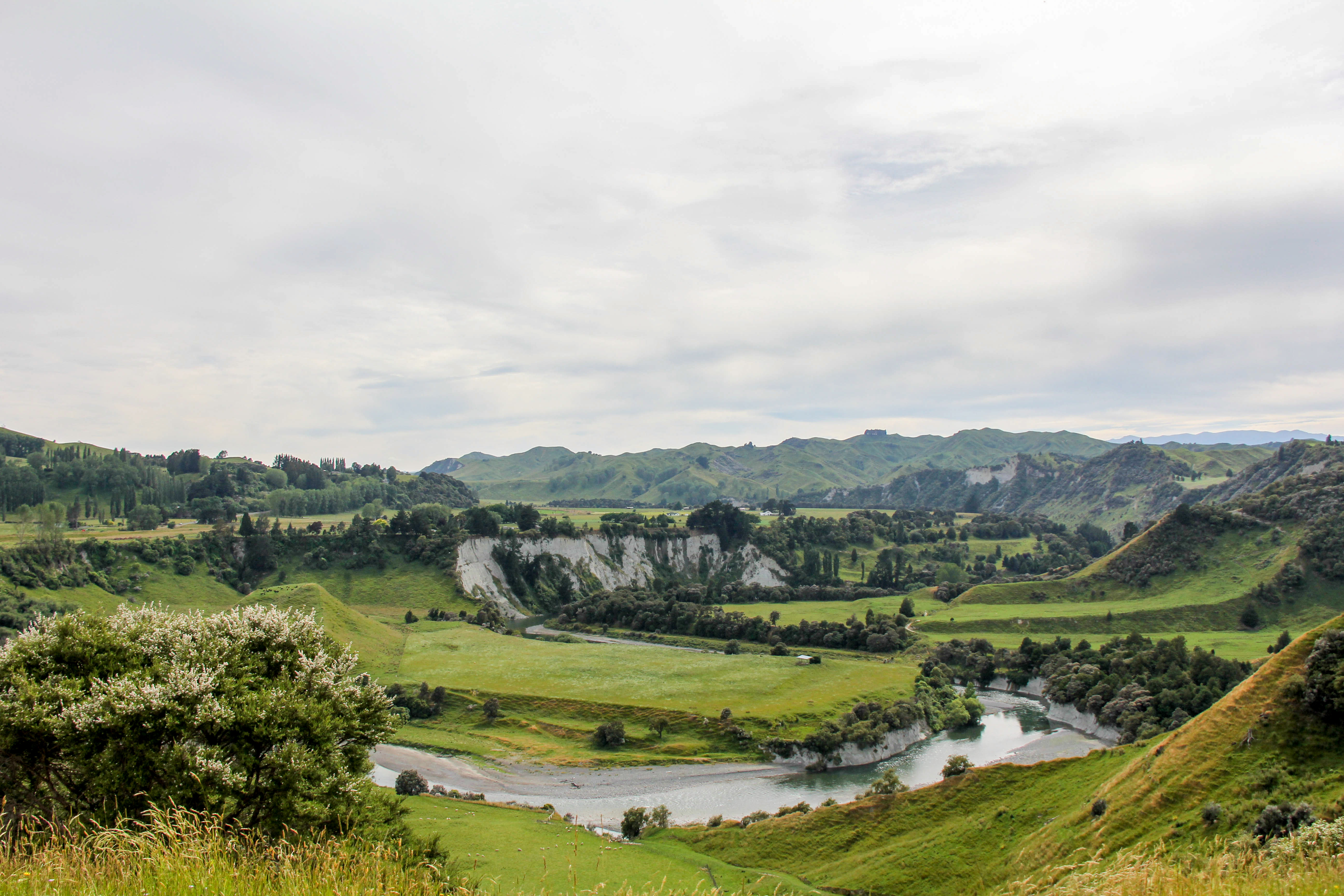
That’s a farm paddock, not a golf course, this is where we grow your Sunday Roast lamb. This is winter, those are the Ruahine Ranges.Sheep, four of them avoiding the oven. ManawatuIt’s a hay barn, but I call it a high barn. Manawatu Hill country, Ruahine Ranges backdrop. Most people think the Manawatu is flat. Taken from the Waituna-Tapuae RoadThe photo is straight, the trees and power pole are on a lean. Rangitikei farm landLate afternoon, looking across the Rangitikei from Kauangaroa Road. It’s the road from Hunterville to Fordell.Looking down at the Rangitikei River cliffs from Otara road. There is an Otara in Auckland, it’s quite different to this Otara.The Ruahine Ranges looming large over a fetching piece of farm land. Manawatu High country. There is high country in the Manawatu contrary to popular opinion.That’s a ‘Southern Cross’ Windmill. I think it’s best days are behind it, as are the mountains.Low cloud, early morning in the Rangitikei River Valley. Makes for a cool island in the cloudThat’s the Kiwi Rail Northern Explorer, passing through the Rangitikei. The only passenger train that runs between Auckland and Wellington. It runs each way, every second day. We aren’t really a nation of train travellers.Mt Taranaki through the trees. Those trees are just in front of me, Mt Taranaki is over 180 kilometres awayRangitikei landscape. Lots of it.Look! It’s New Zealand, all of it in one photograph. Putorino Road, hardly anyone will know where that is but every one who has driven from Taihape to Bulls has driven past it.A green barn with no doors at a place called Silverhope.Mt Ruapehu 130 kilometres away from here. Here being Fordell in this particular instance.Let’s have a closer look. That’s still Mt Ruapehu 130 kilometres away from Fordell but I used the zoom lens a bit on my camera. I don’t have a big zoom lens, just 200mm. Luckily Mt Ruapehu is massive.
It’s Winter time but spring is coming already. See you when it’s warmer.
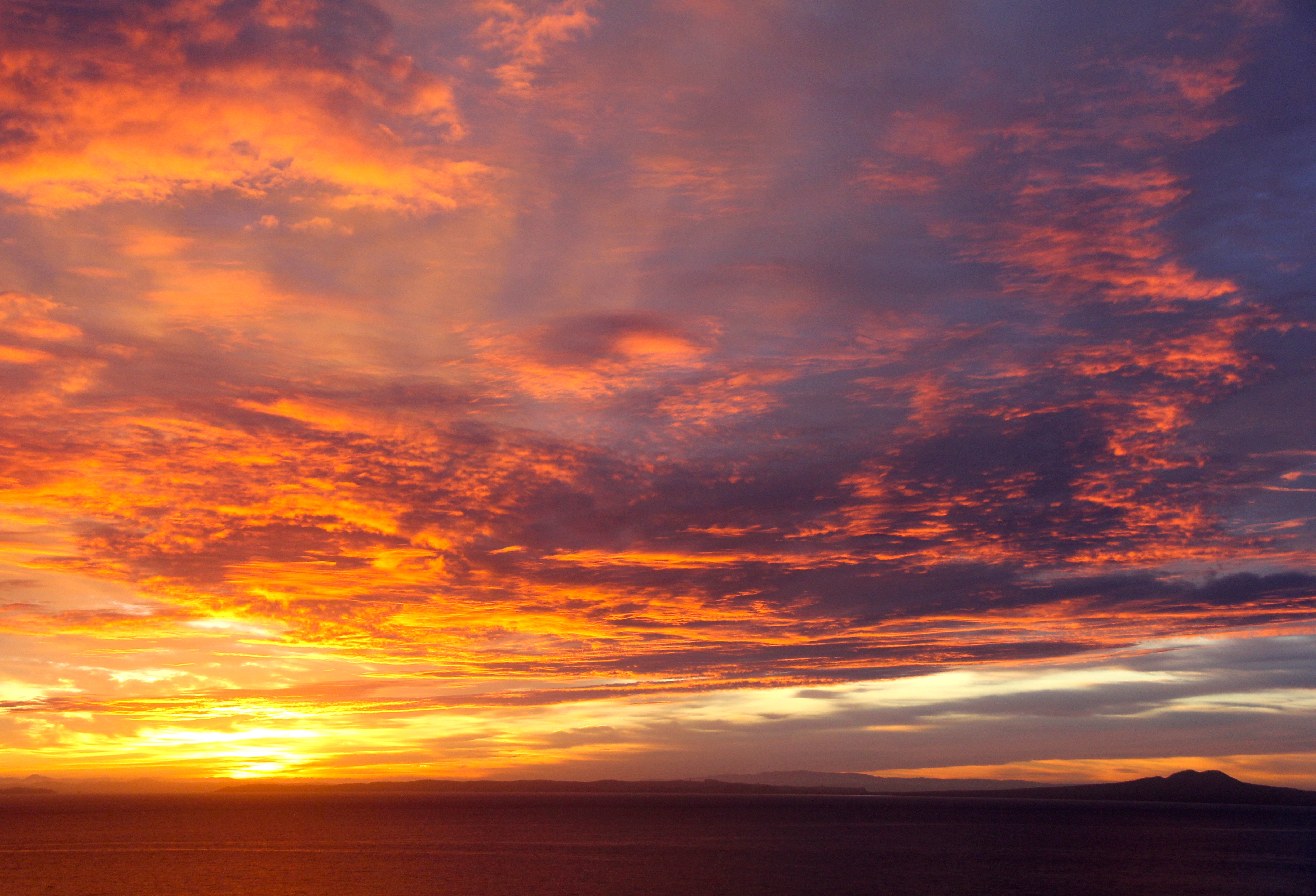
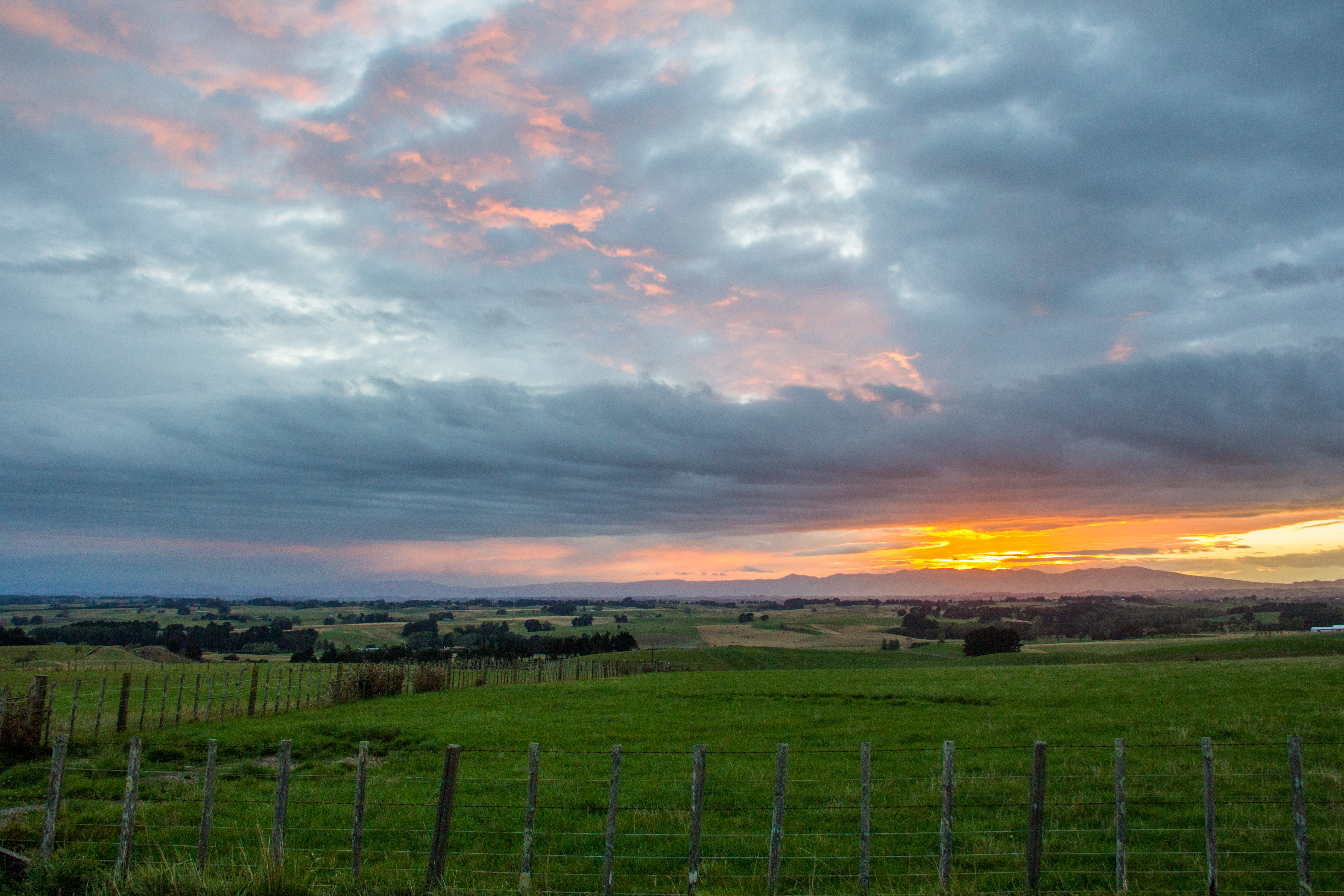
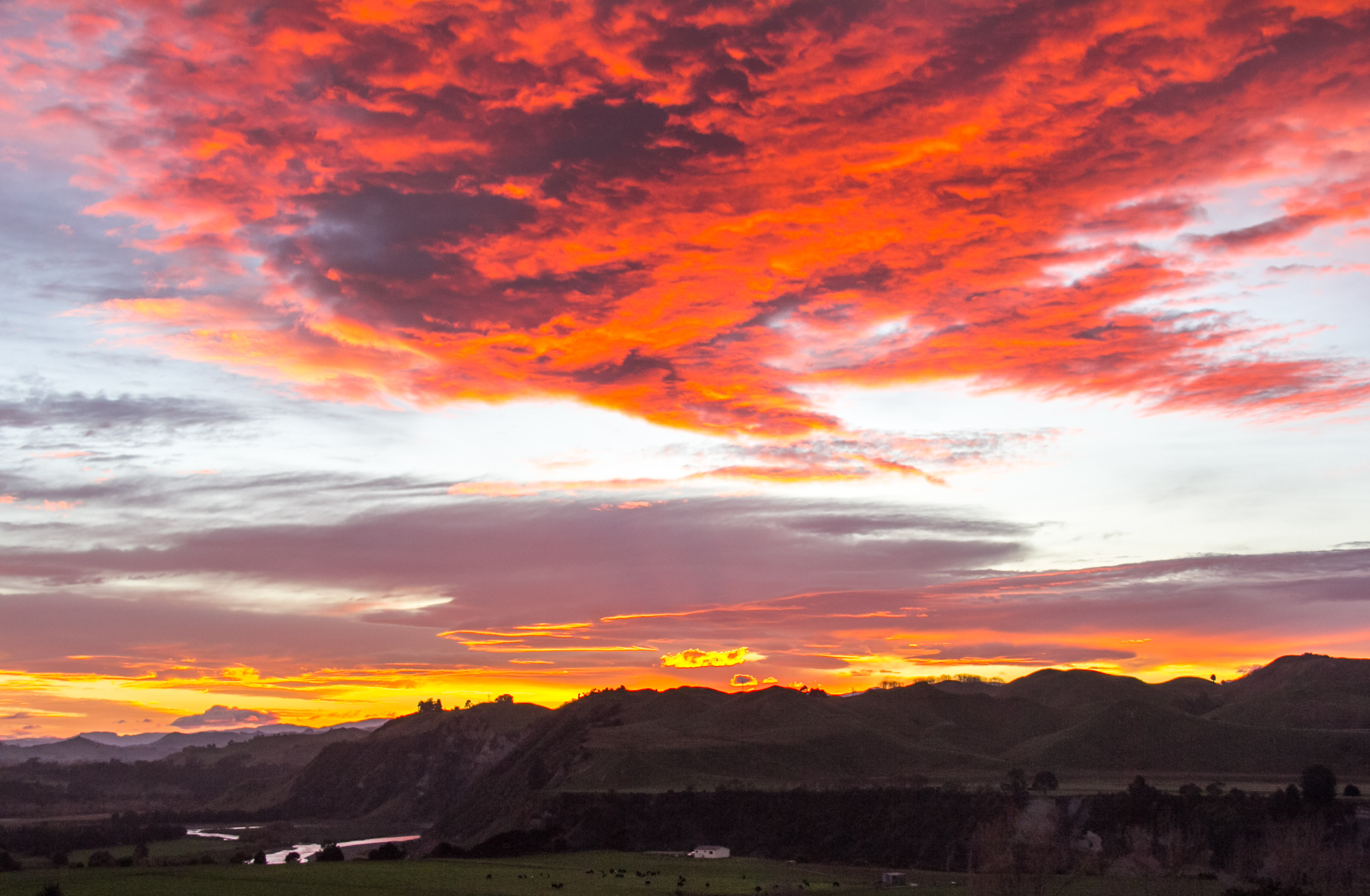
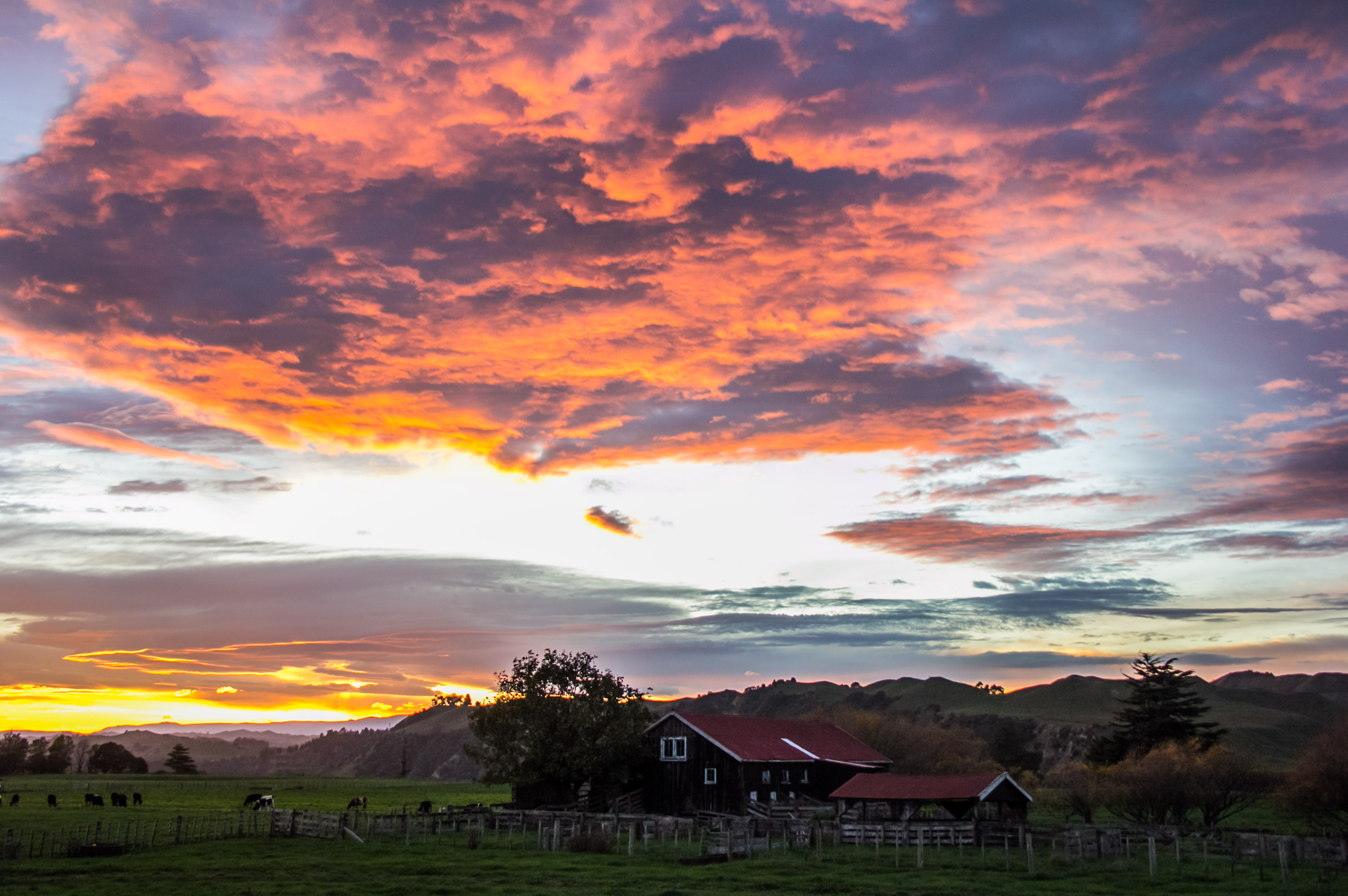
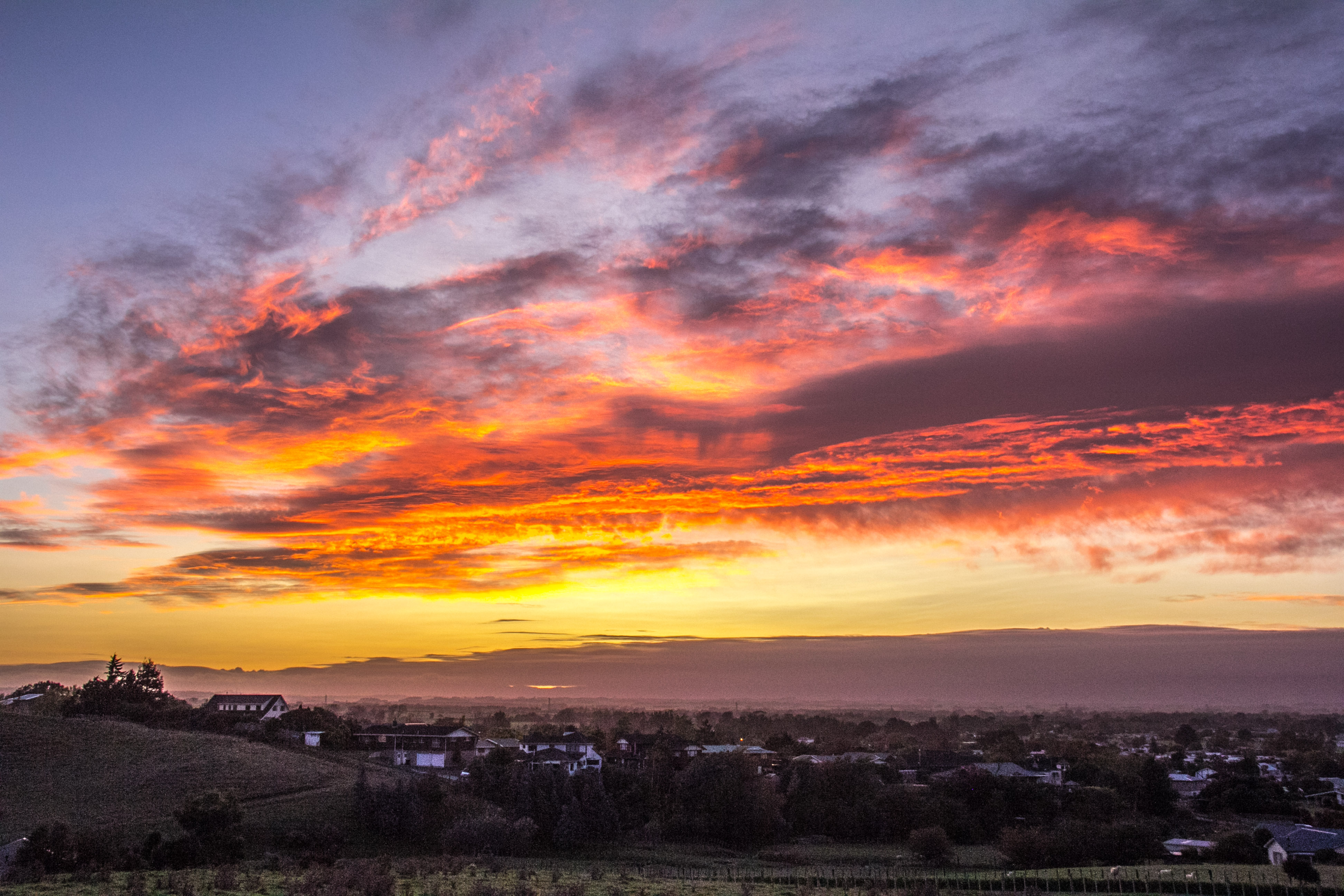
Because who doesn’t like to look at some epic cloud formations? Don’t ask me to go all scientific on you. I’m not a cloud geek, I don’t know what the clouds are called. I just like looking at and photographing some cloud action that’s worthy of capturing. I’ve already put a few photos throughout the blog which feature cool clouds, but they were incidental to the view. These ones are the reason I took the photo. It’s the subtle differences. If you know the names of the clouds, please comment and enlighten us all.
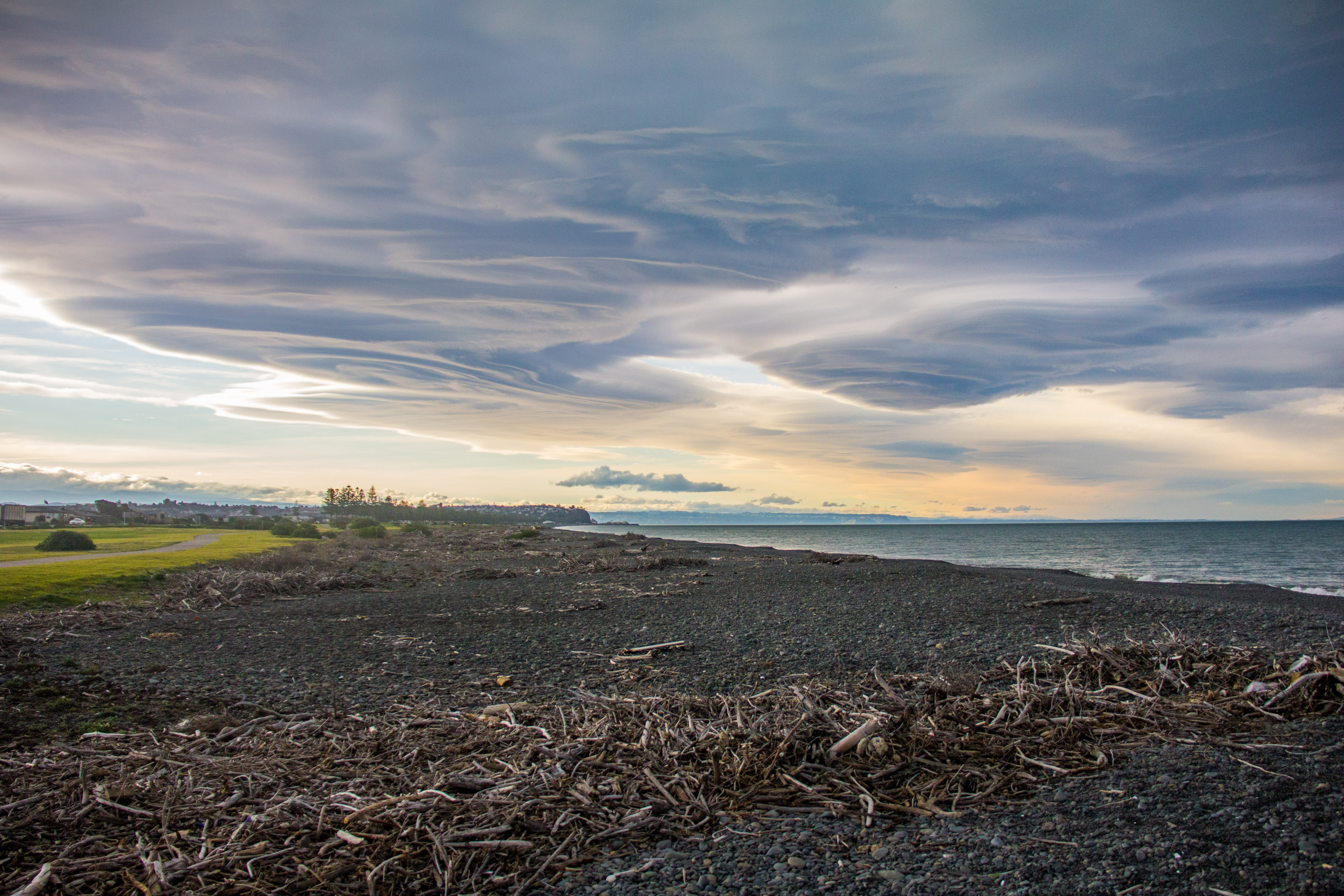
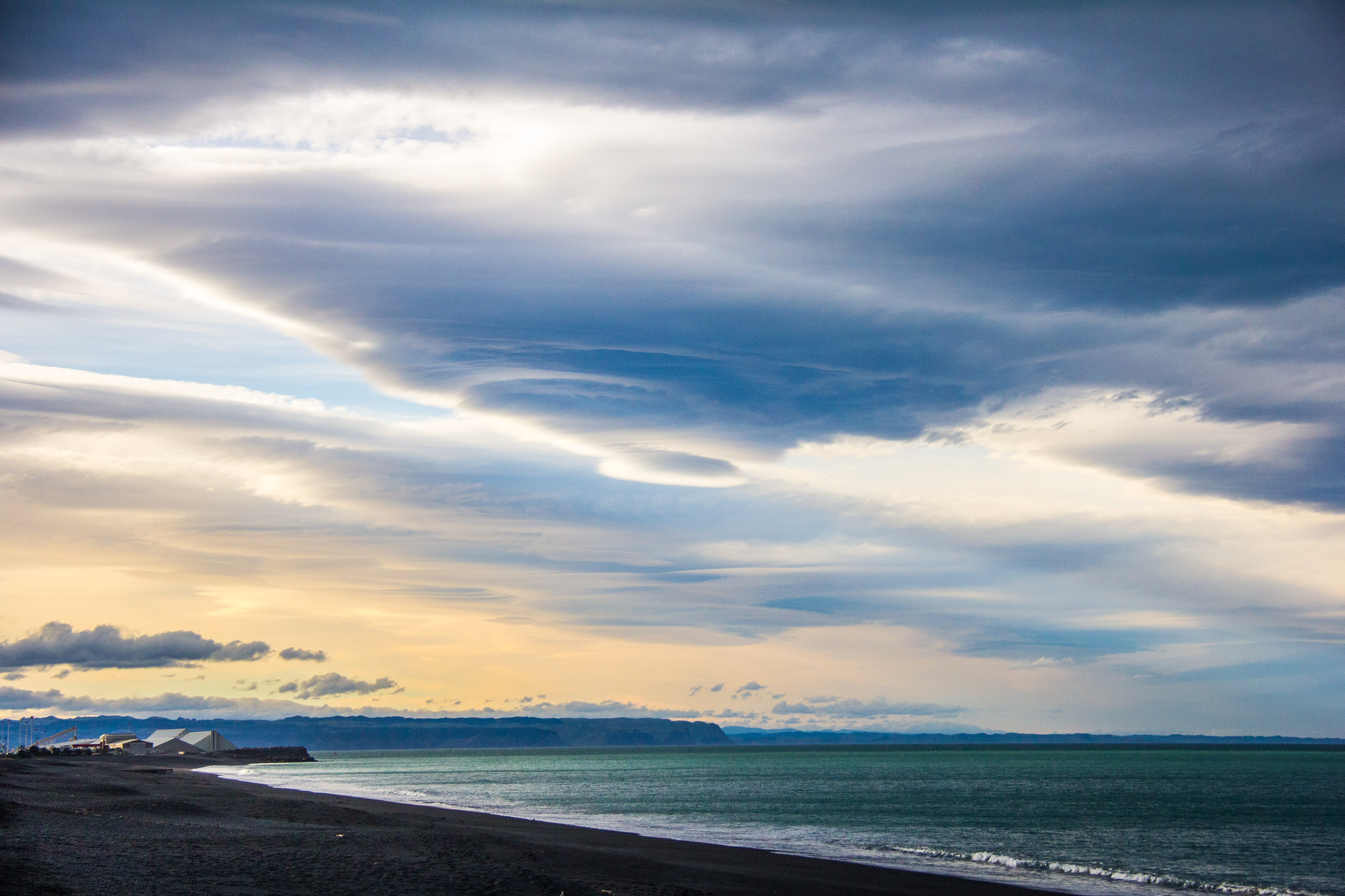
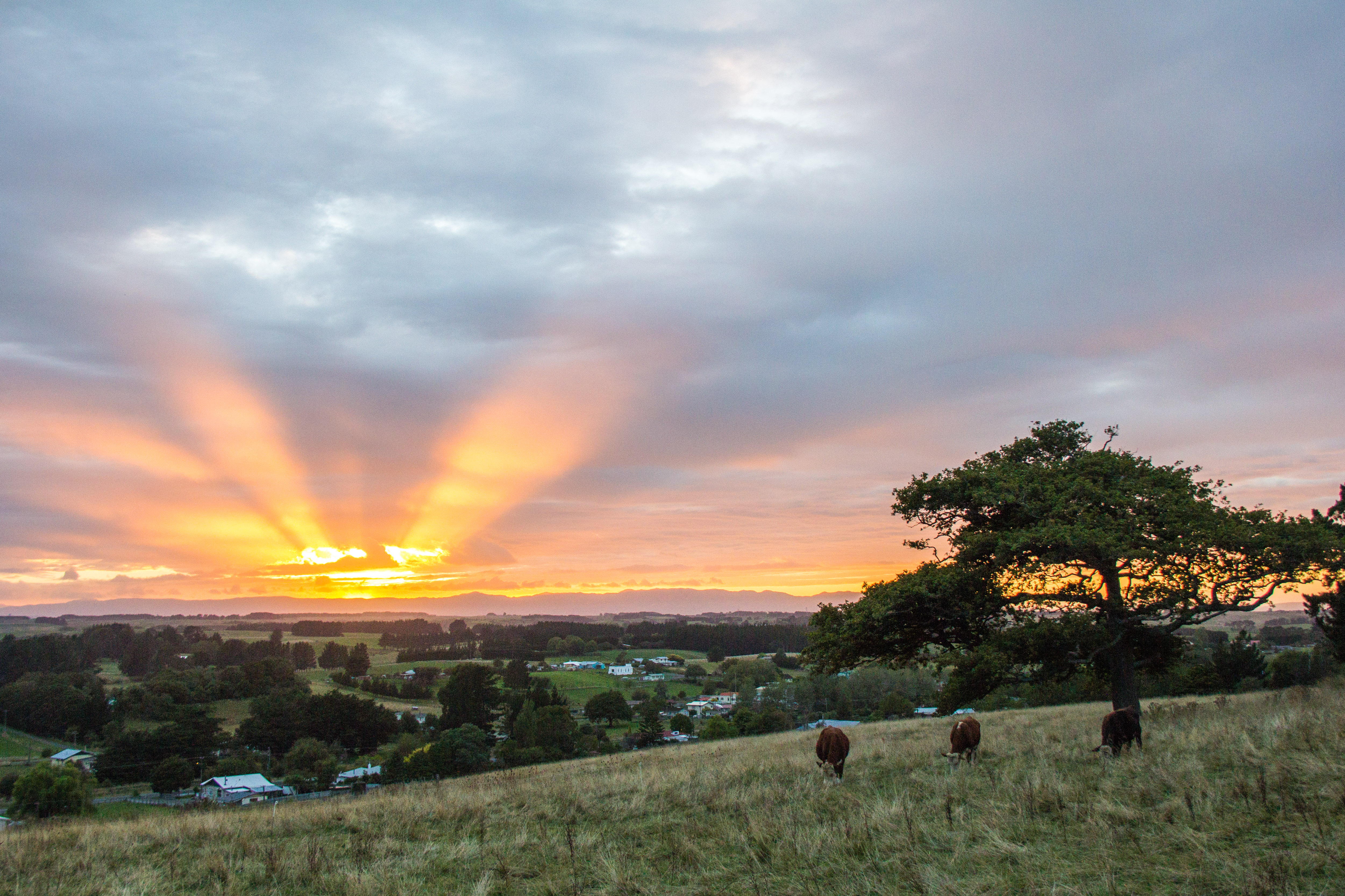
Southern Central Hawkes Bay, the day before the ‘great flood’ turned up in other parts of the country. Waipukurau, the nearest town to here was unaffected. The clouds were weird throughout Hawkes Bay that dayLooking North-East across Waipukurau in Southern Central Hawkes Bay. Storm brewing, but not here.I call these ‘God rays’, they are actually called ‘Crepuscular Rays’. Which sounds meteorological rather than awesome. These are over the small Rangitikei town of Hunterville, which few would describe as awesome.Rangitikei river valley, full of fog, love this stuff. There’s a river down there, I expect it has something to do with the valley hugging foggy clouds.I put a lot of care and thought into naming my images. I call this ‘Yard Rays’. I know.South of Napier, Hawkes Bay. Storm front brewing but the storm wasn’t here. Still, as you can see, the beach is not one for sunbathing so that’s good to know if you’d ever considered such a thing and felt a special trip to Napier might be in order. Make the trip by all means. Don’t swim or sunbathe, drink wine.Looks like a Tornado brewing over Napier in Hawkes Bay. It isn’t.Rays punching through the clouds above Lake Taupo.This is an unremarkable place in the Manawatu. Made interesting only by the sun striking through the clouds. I’m sure there is also lots of local history the local people are very proud of though.Cumulonimbus. I know I said I wasn’t going to name any clouds. But this is amazing. The entire top of the Whangaparoa Peninsula obliterated by a nuclear explosion, is what a Cumulonimbus looks like in this instanceOver there at the bottom right is Rangitoto Island to give some perspective to this epic cloud formation. Early morning in Arkles Bay.Same place, different day, slightly different angle. Big skies up there.Rangitito at Dusk, with a boat heading out to sea. This is the sort of thing you want to be looking at of an evening rather than the telly. Just saying.
So that’s it. When people say ‘it’s all cloudy’, that’s a good thing. See?
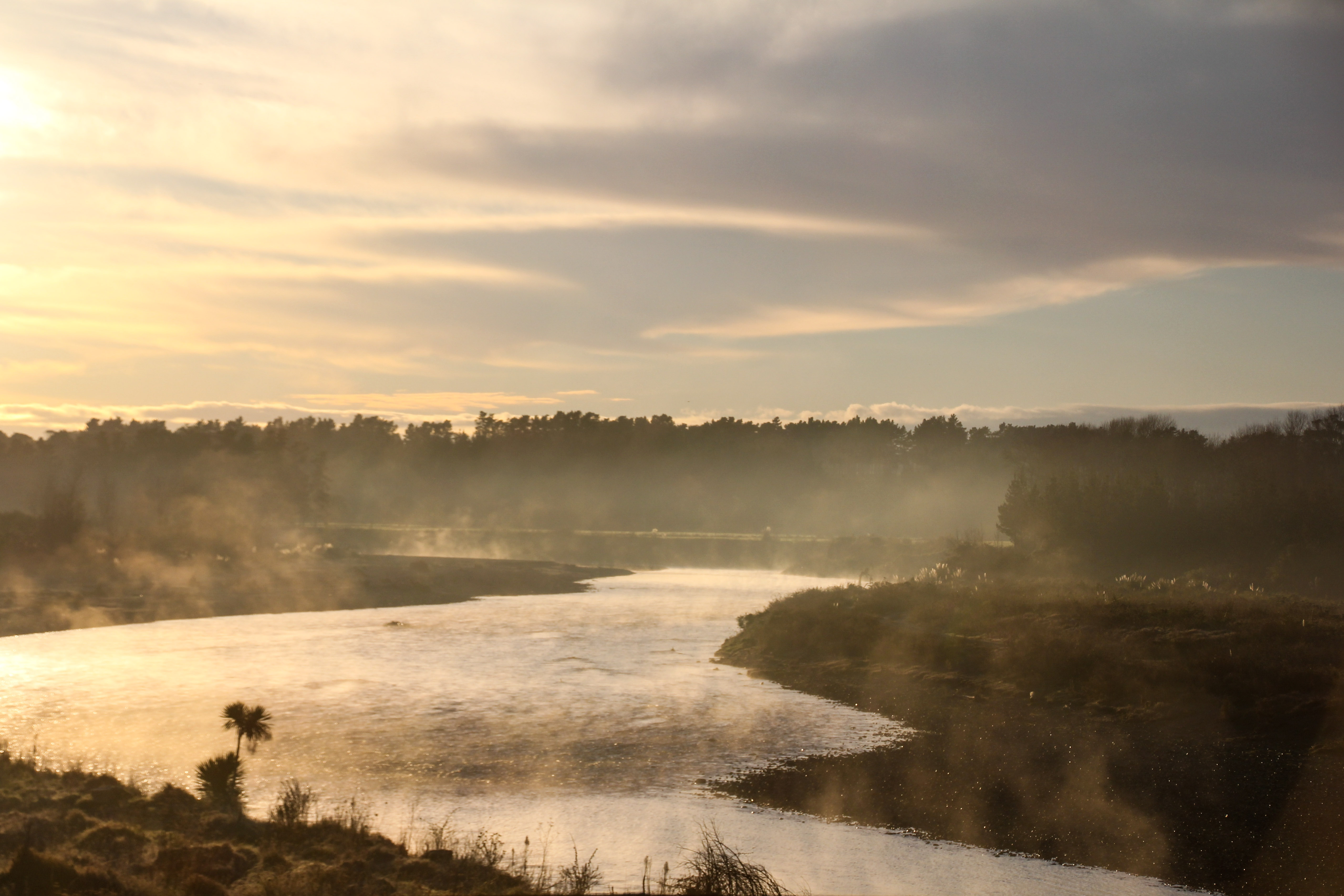
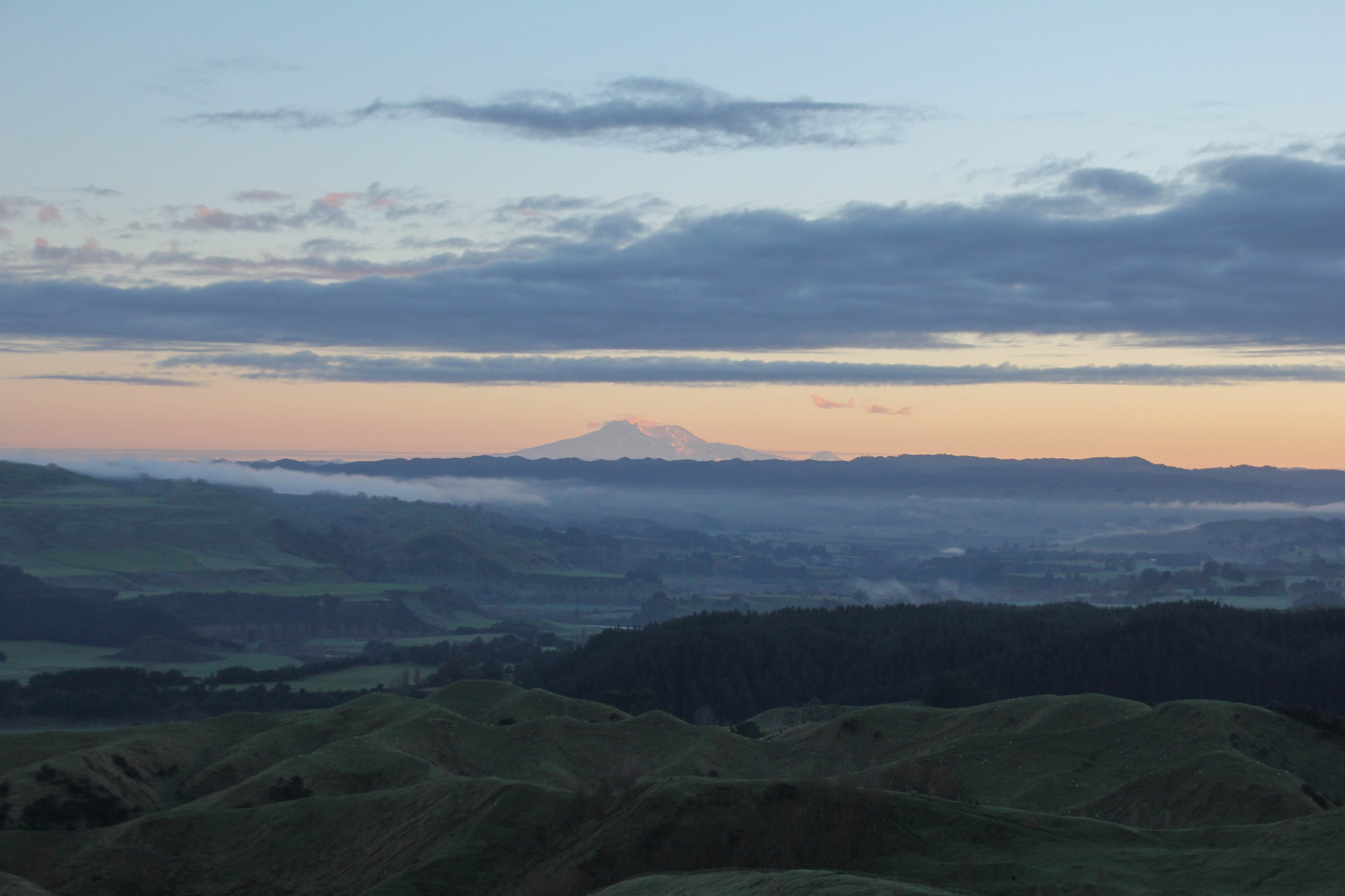
The centre being the central North Island, rather than the coast. So many people take wonderful photographs of the sun coming up over the sea. That’s easy to do, all you need is an alarm clock and to point your camera East in the morning. Inland it’s a bit more of a challenge. There are hills and stuff in the way. Here are a handful of local sunrises I’ve been lucky enough to witness.
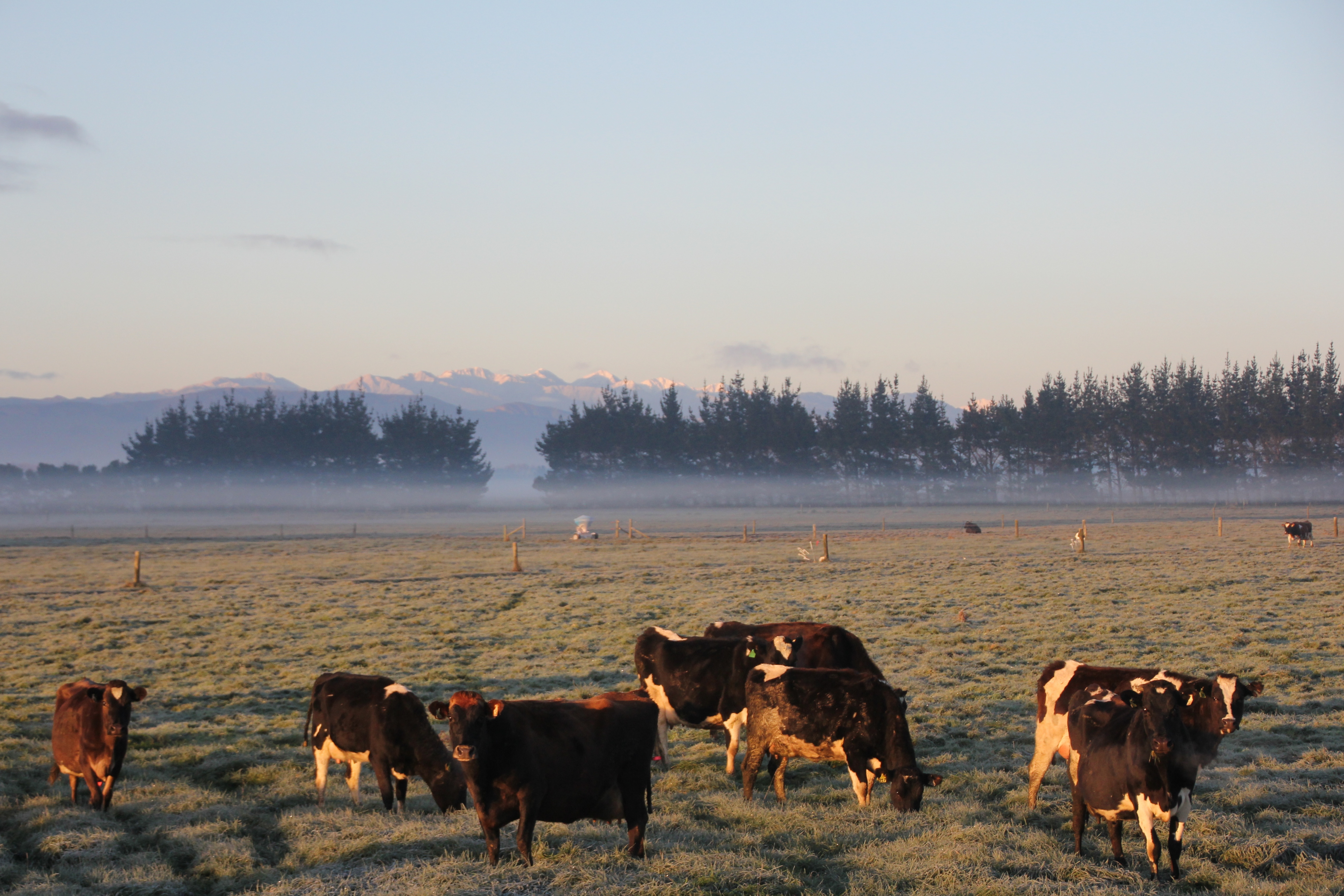
Cold cows, earlyHalcombe, 7 am or soRangitkei River. Steam off the water looks coolDerelict house, early, the ghosts aren’t even up yet.Manawatu Morning7am or so, from the Feilding-Halcombe road7ish, looking across the RangitikeiStill 7ish, bit of a theme of the hour in the morning setting in here.Mt’s Ruapehu and Ngauruhoe, about 120 kilometres away7am over Feilding. ManawatuRuapehu again, over there, miles away in the morningYou’ve heard of the Verve song, ‘The drugs don’t work’? This is the rural version ‘The cows don’t care’. Sunrise in the Manawatu.
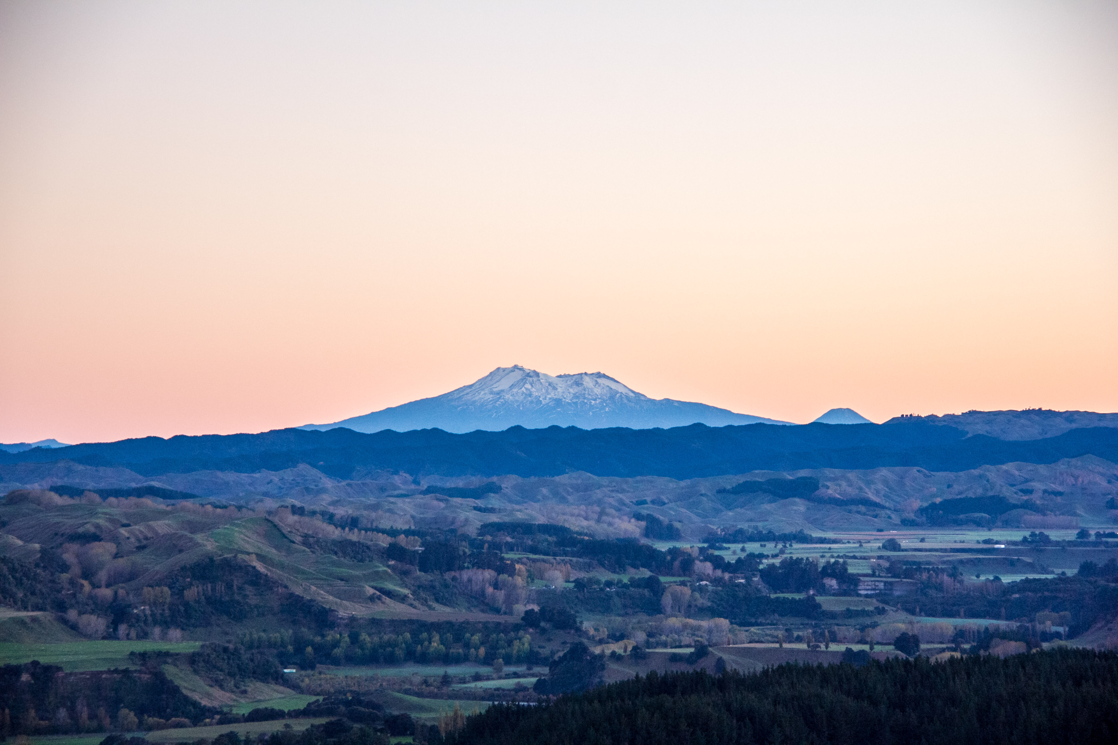
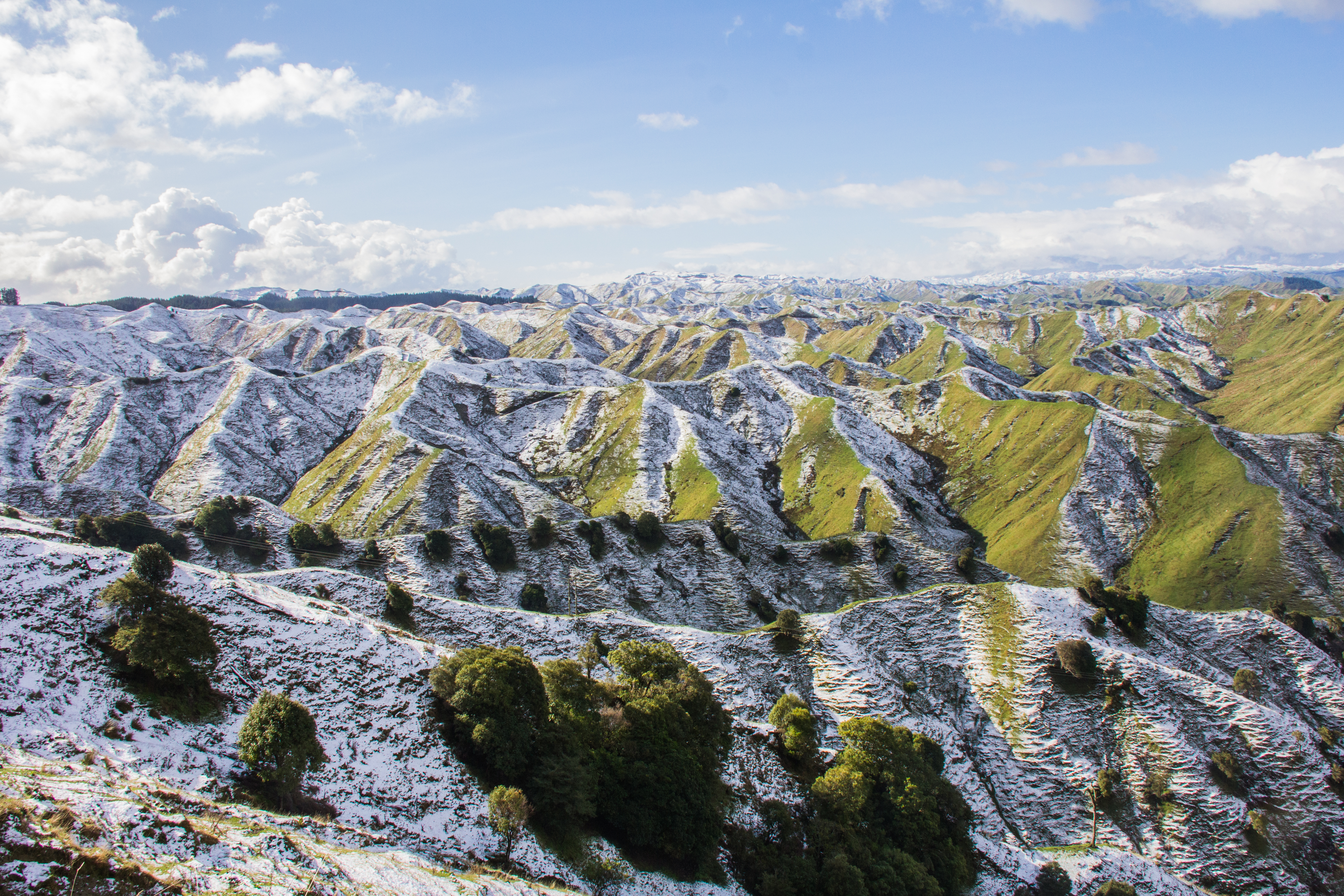
It’s the first official day of Winter in New Zealand on the 1st of June. I took these in the last couple of weeks, round my way. You don’t have to go to the South Island to see snowy peaks and mountain ranges. These were all taken within an hour of my place in the Rangitikei. Southern Central North Island.
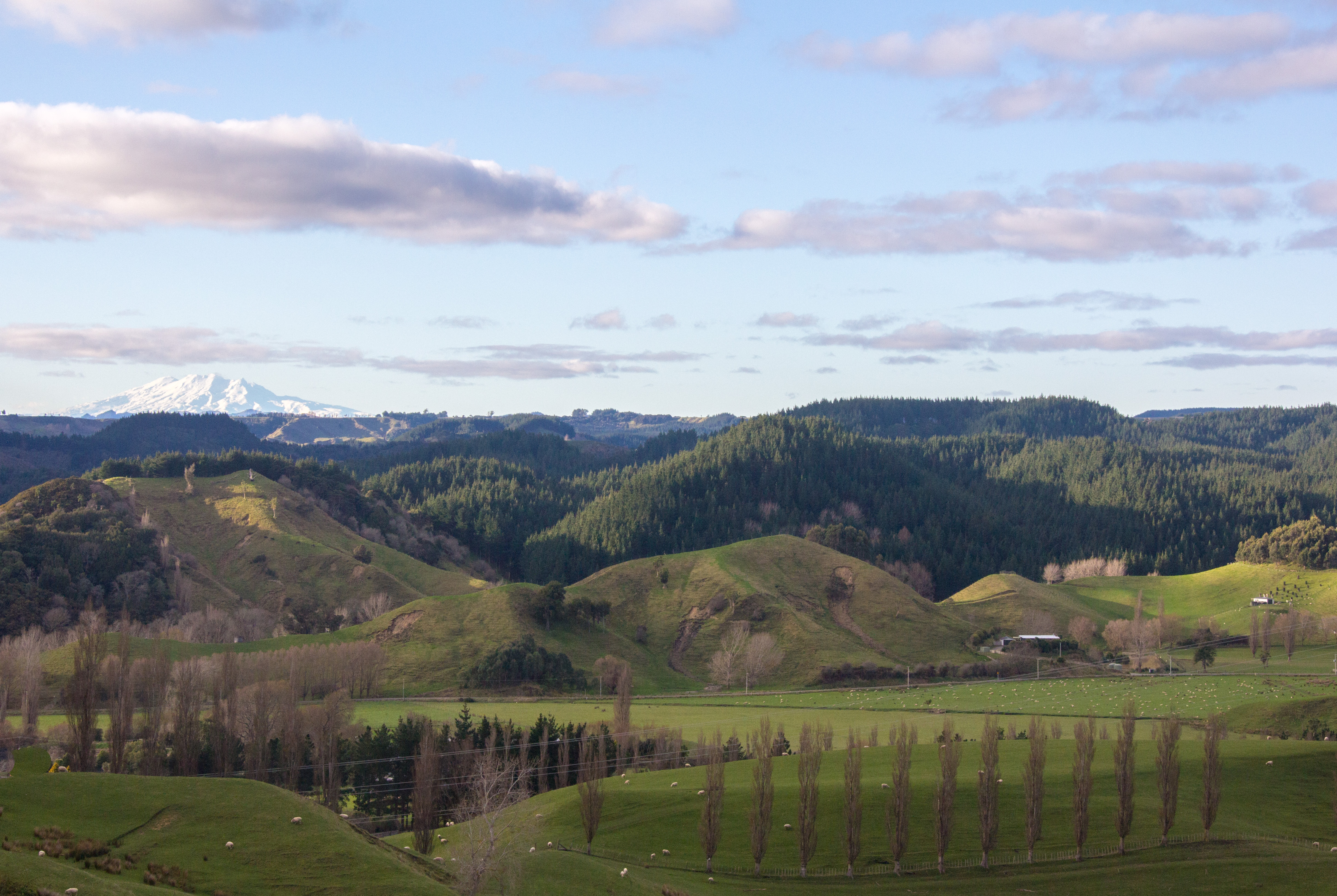
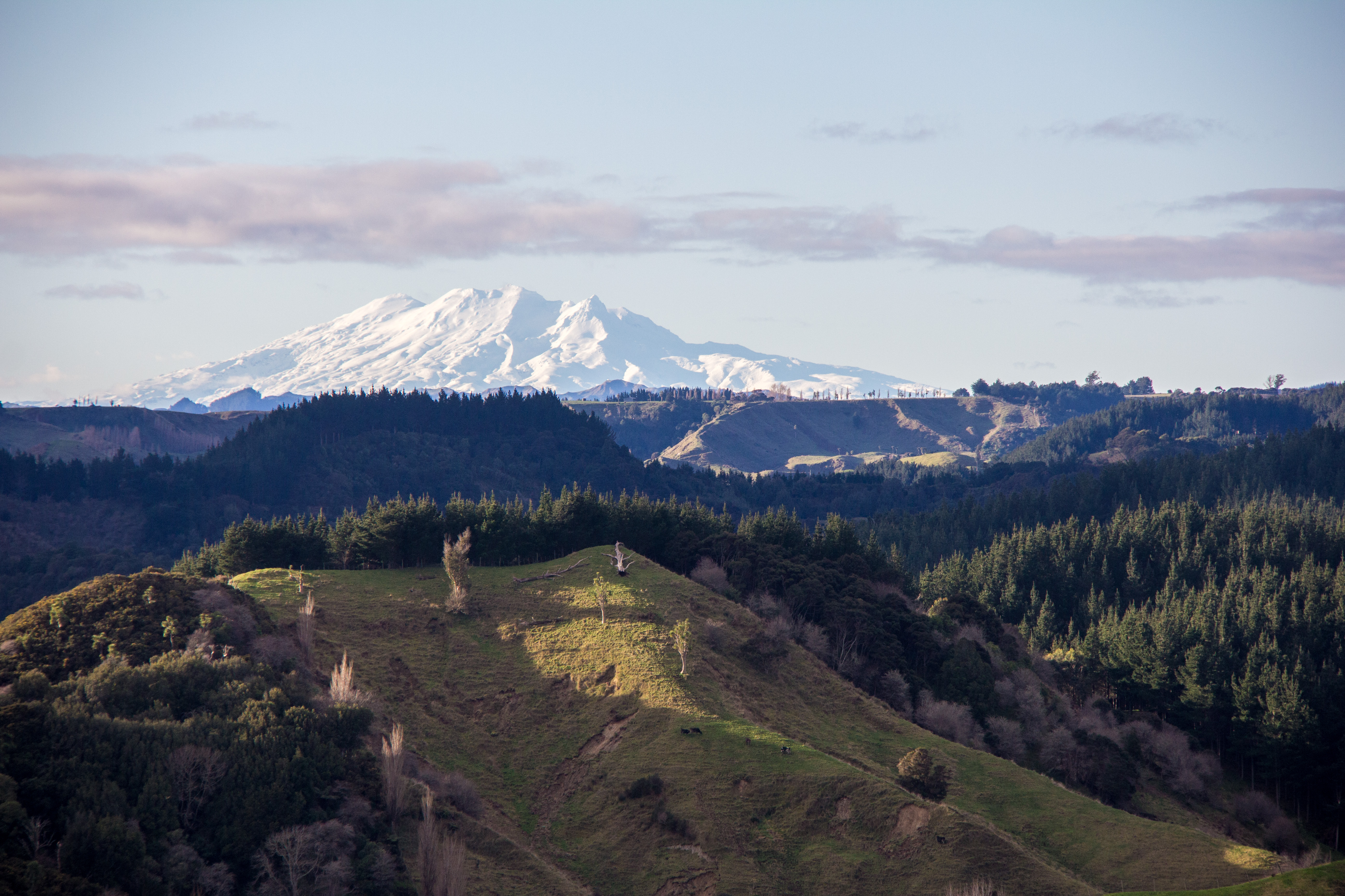
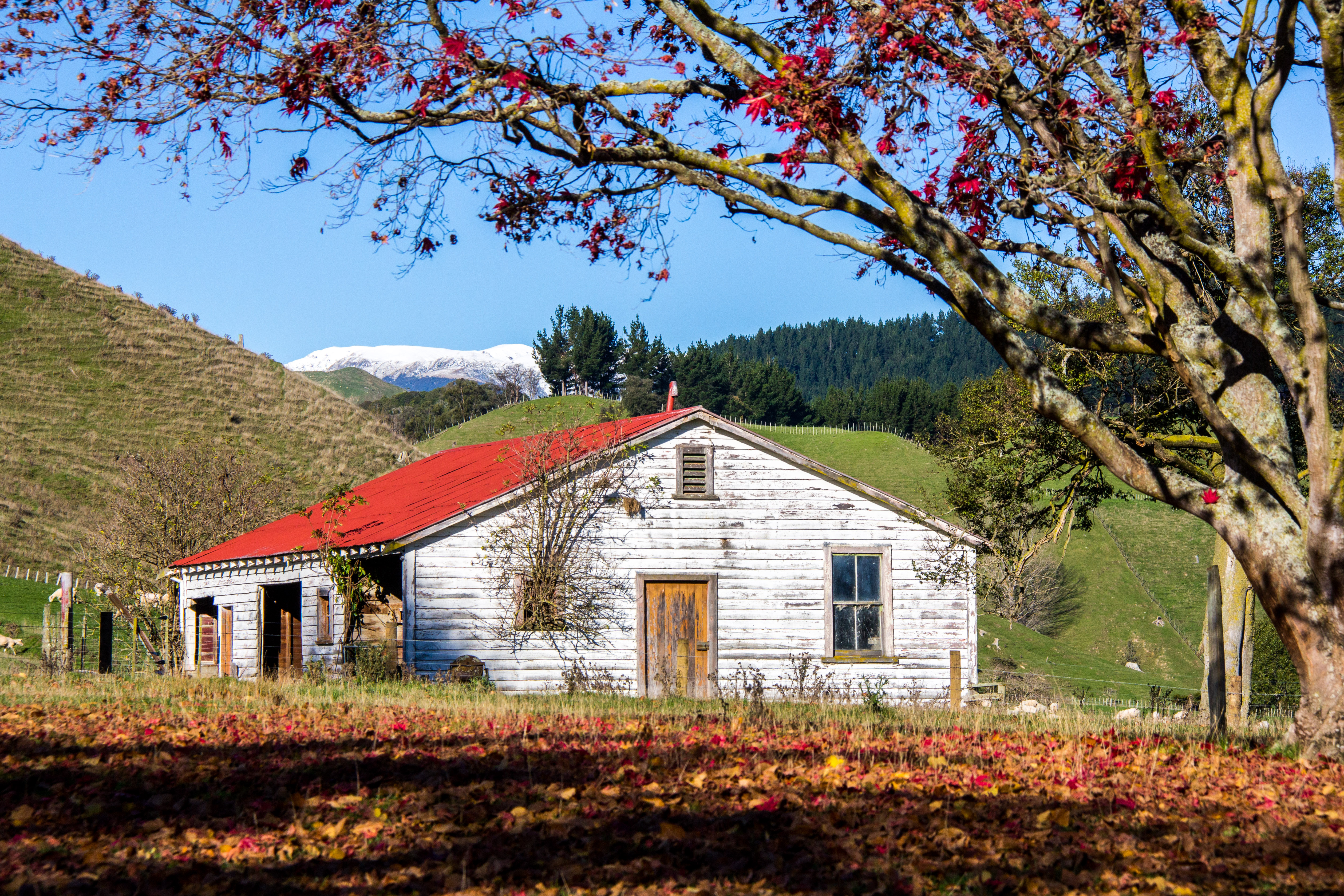
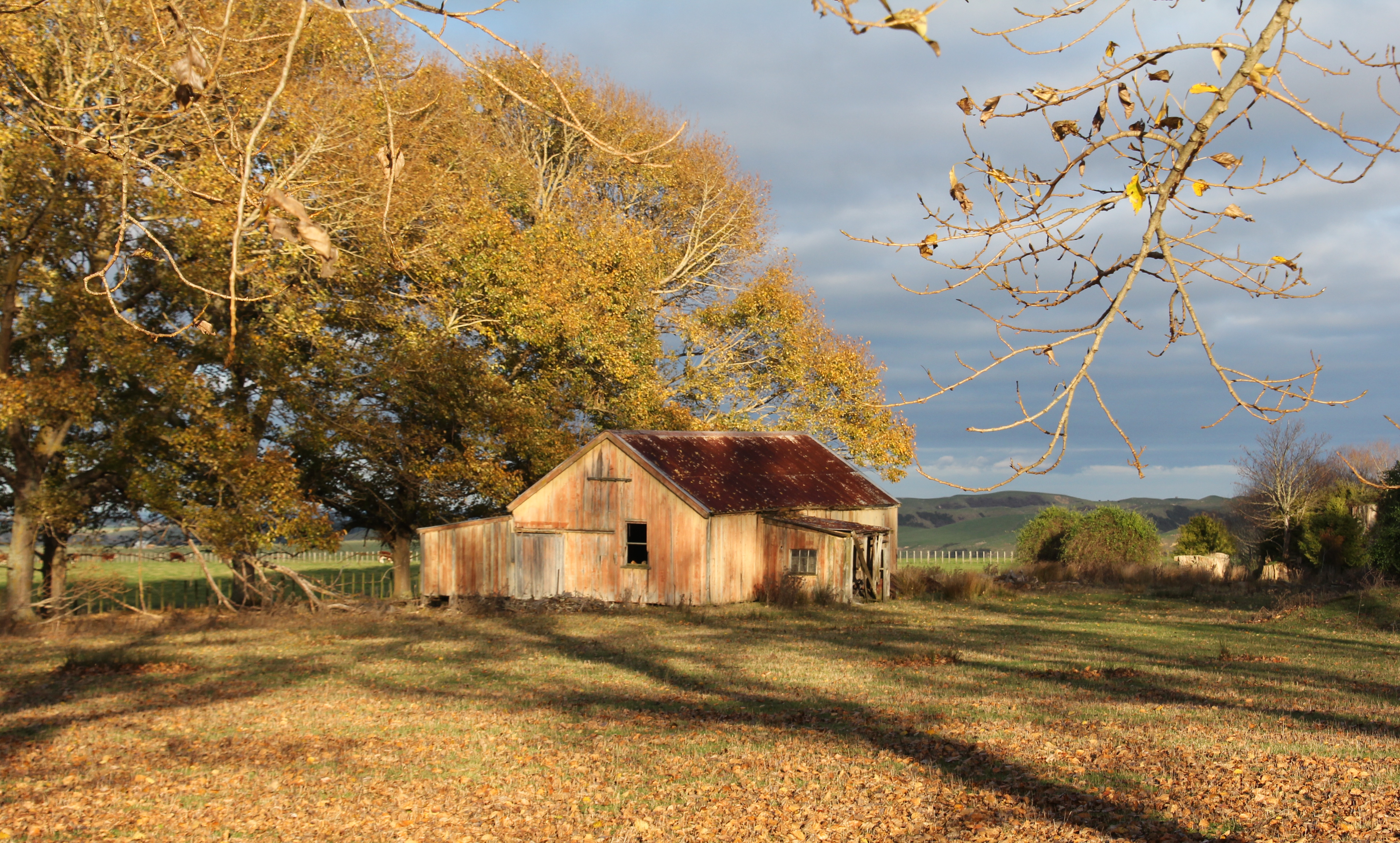
I call this one, ‘Top of the Mountain road’. I’ll let you puzzle over the hidden message in that title.I call this Ruapehu Space ship clouds. Took me ages to think that upThe New Zealand Main Trunk rail line, heading north towards Mt RuapehuI call this ‘Mountain Road’. Because I took it on the Mountain Road. No need to make up names when the actual name is cool enough.The open road, literally. The sign says so.The Ruahine Ranges again, looking across the Rangitikei River Valley. Snowy and sunny. A perfectly photogenic combinationWho doesn’t love a derelict barn with a tree growing out of the window on a remote country road. Just a hint of the Ruahine Ranges in the background.Mt Ruapehu, looking awesome on a partly cloudy crisp autumn day. For those unfamiliar with Mt Ruapehu, it’s a 10,000 foot high active Volcano in the middle of the North Island. 10,000 feet sounds more impressive that just shy of 10,000 feet which what it actually is. 9,177 feet in actual fact.Mt Ruapehu again, from Wanganui, or Whanganui if you preferNo snow here, but it’s not far away. This is beside the Moawhango Valley Road, not a road you are likely to find by accident. It’s up behind Taihape, in the middle of nowhere.Take extra care, like the sign says. Also the Desert Road isn’t really across a desert. It’s an Alpine Environment and quite un-desert like.This is also high in the Rangitikei Hill Country, an old woolshed looking cool in the snowy morning sunThat’s the mighty Rangitikei River Valley with a bit of snow on the Ruahine Ranges in the distance. Epic views across the lower North Island.We had a light dusting of snow in the Rangitikei hill country, I loved how the shadowed side of these hills took longer to thaw giving this cool effect on the landscape
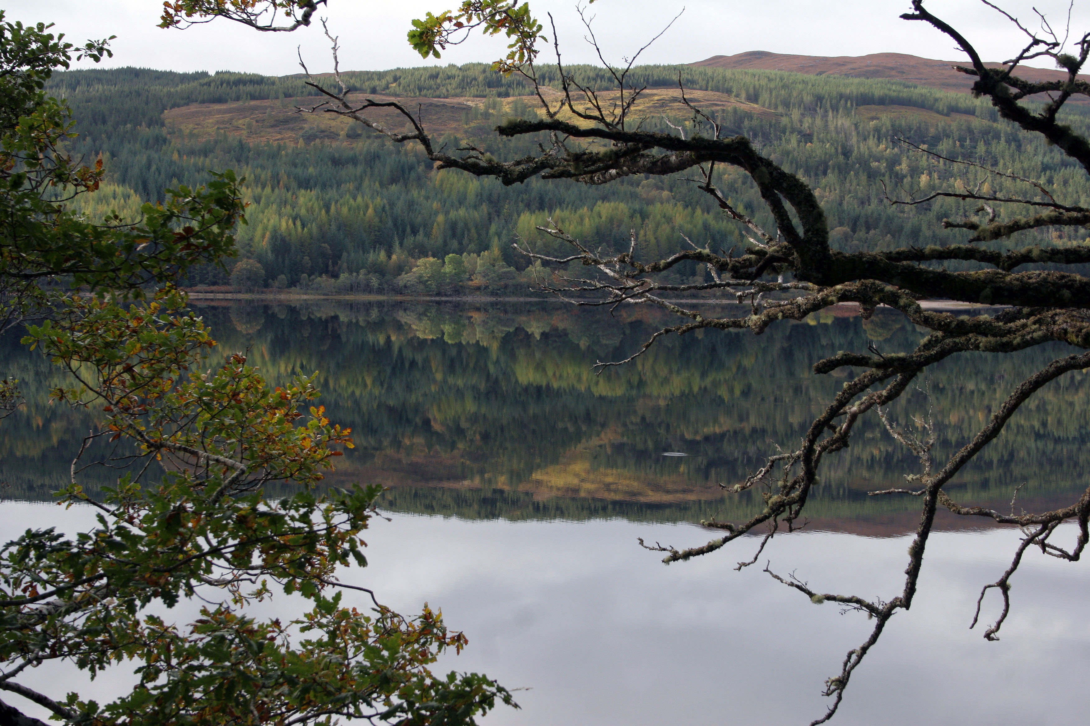
Like a lot of my photography, I try to notice the unnoticed, and this lot are the next batch. Some more photo’s taken while moving about for no particular reason. In New Zealand we are so lucky to have such amazing scenery literally everywhere you look. This is just stuff I saw, no special trips required. This is New Zealand, the bits we drive past every day.
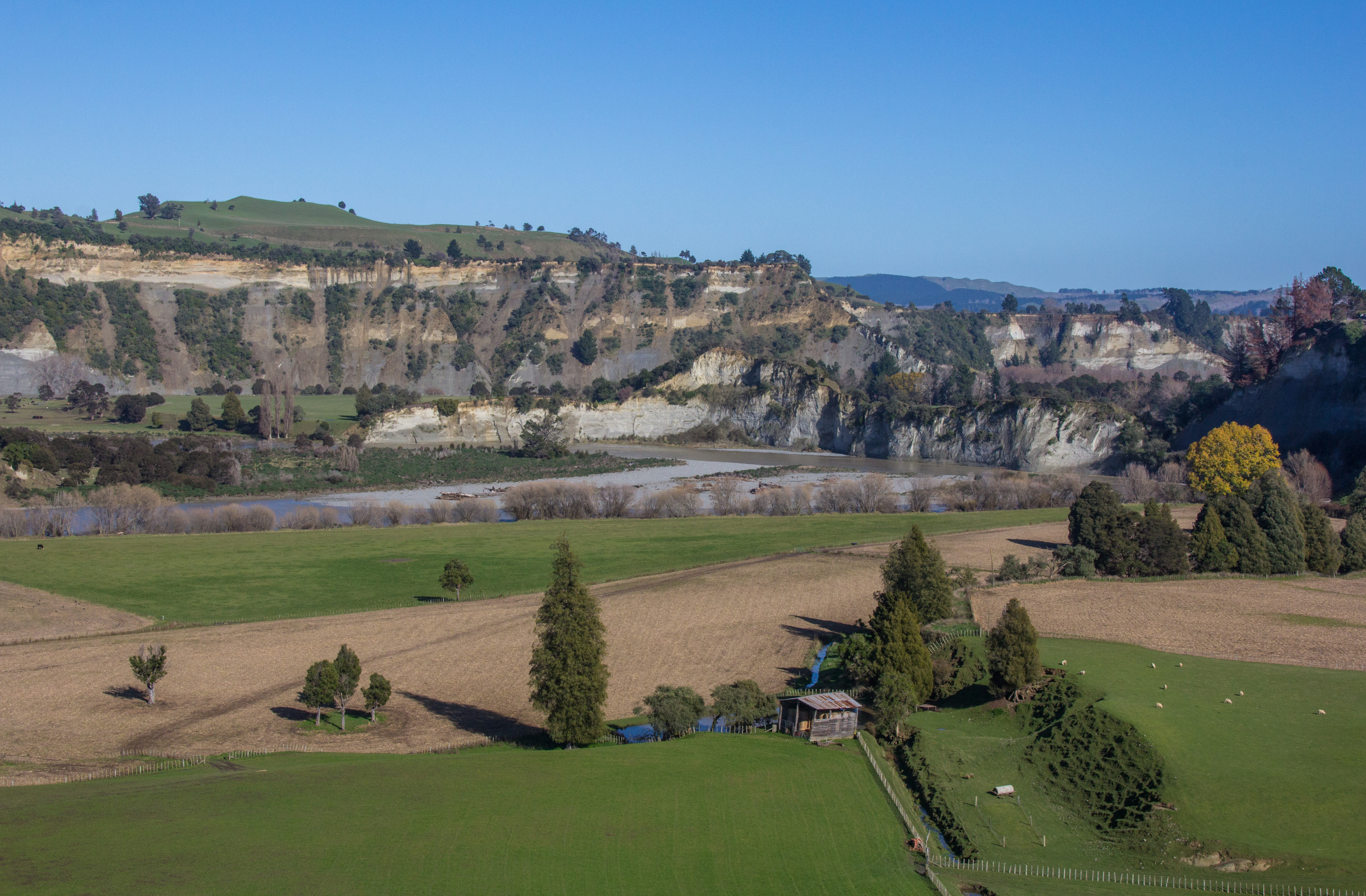
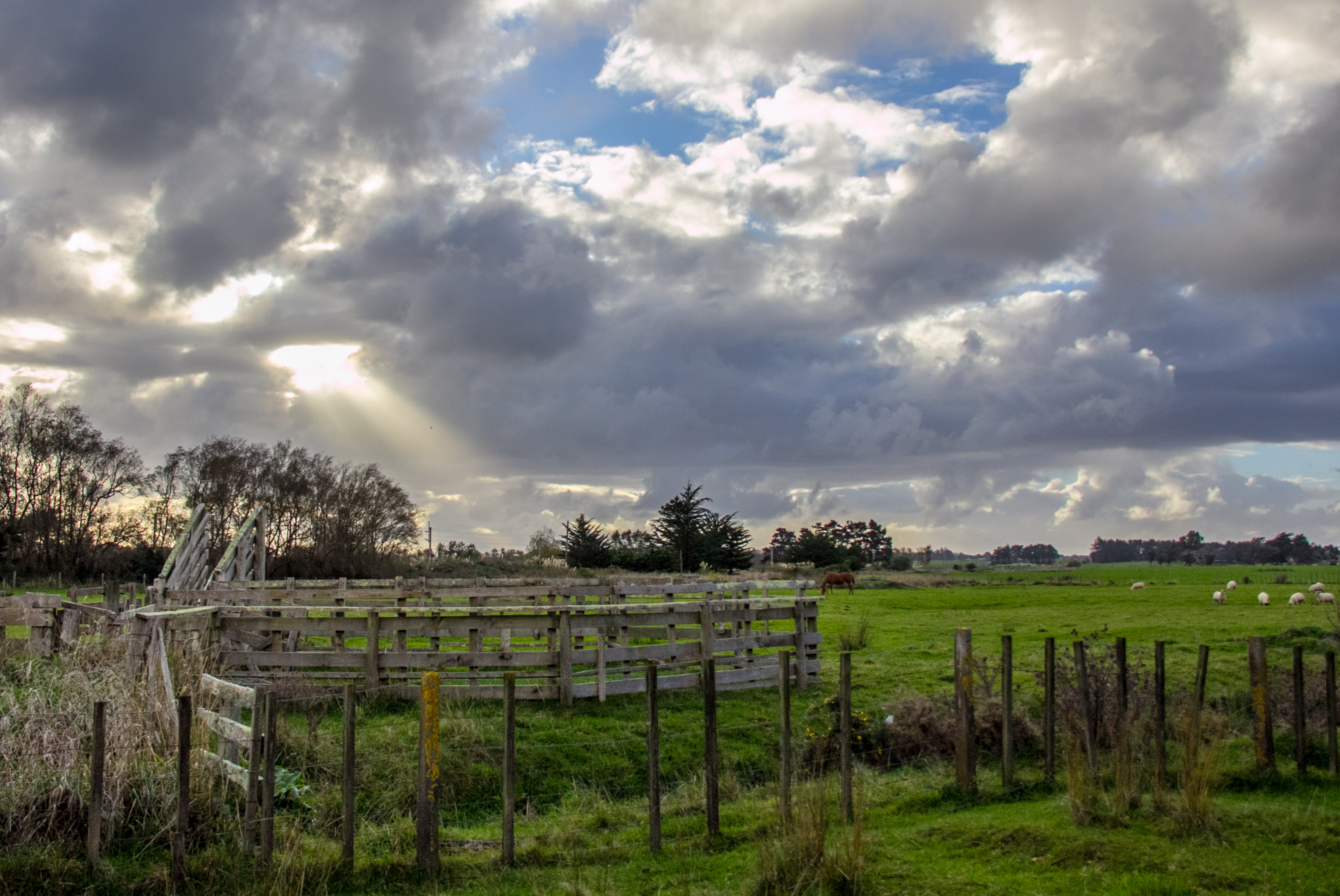
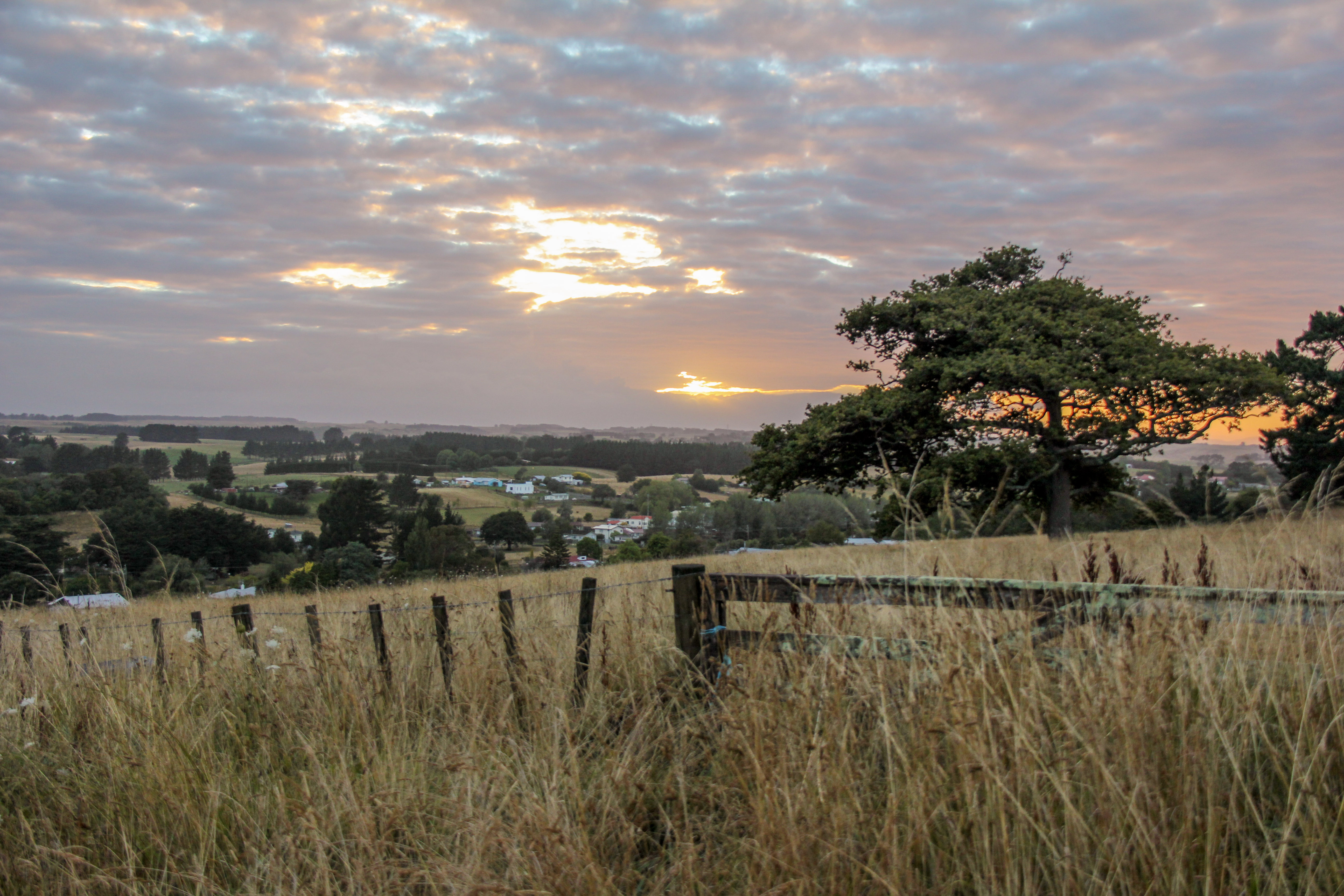
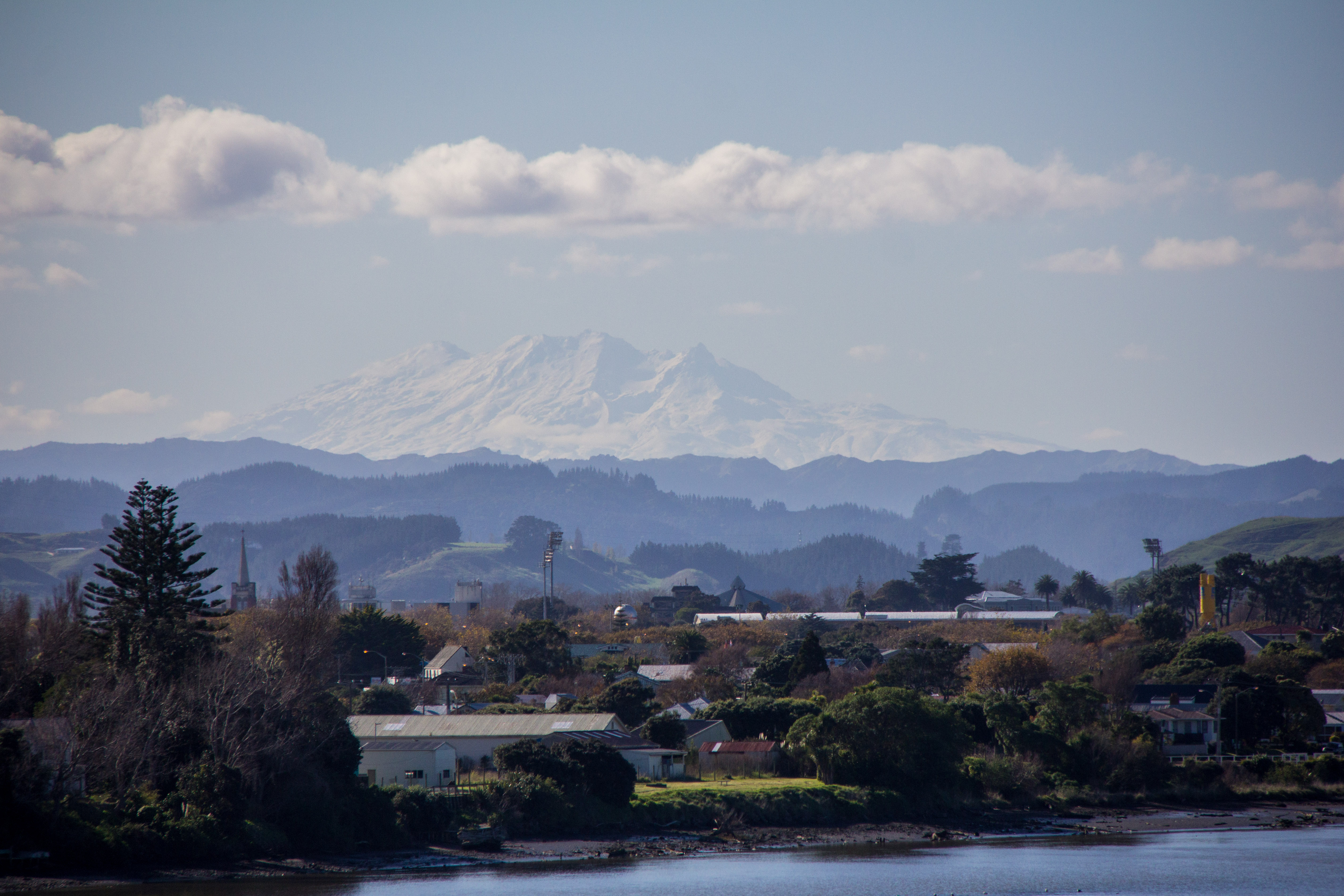
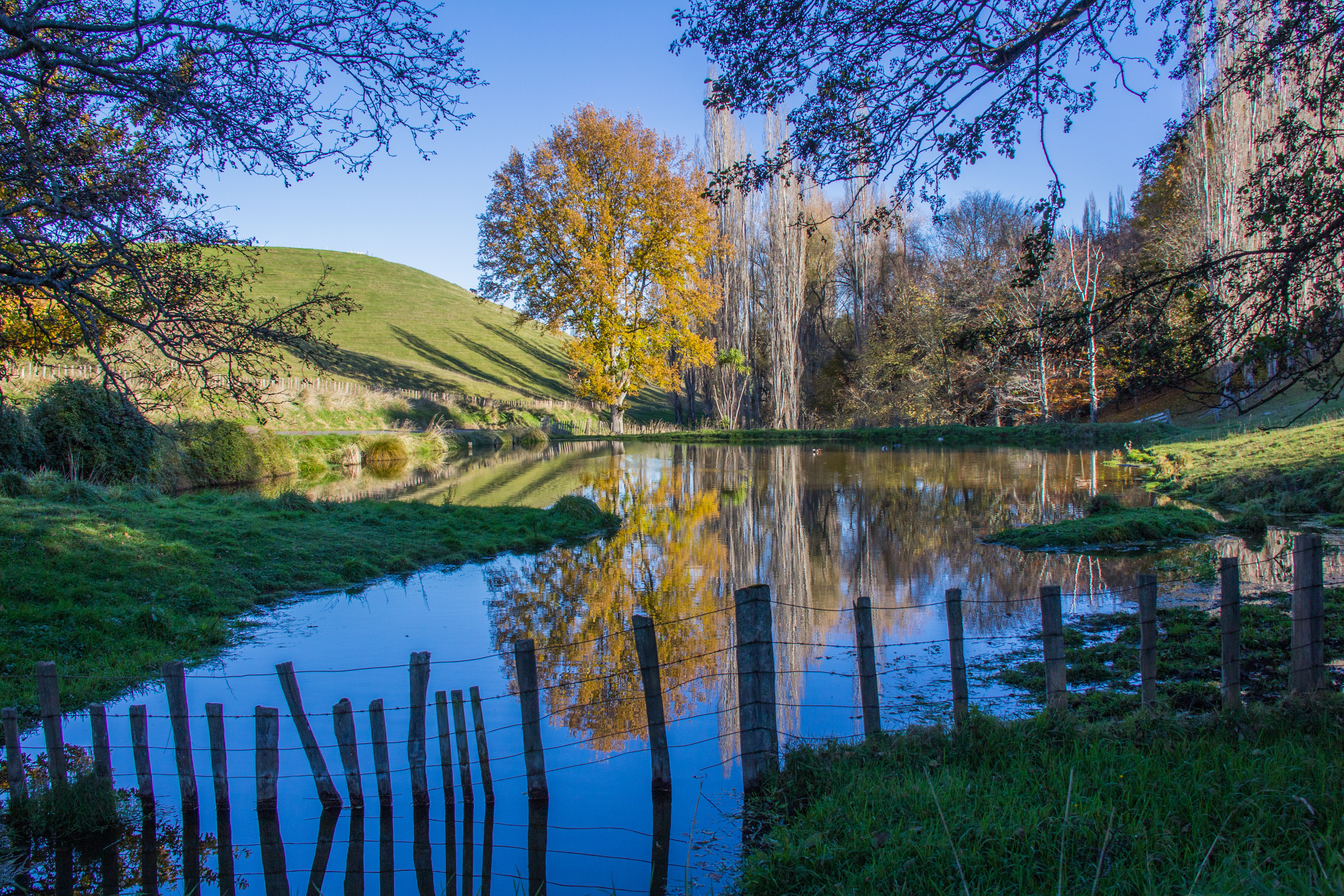
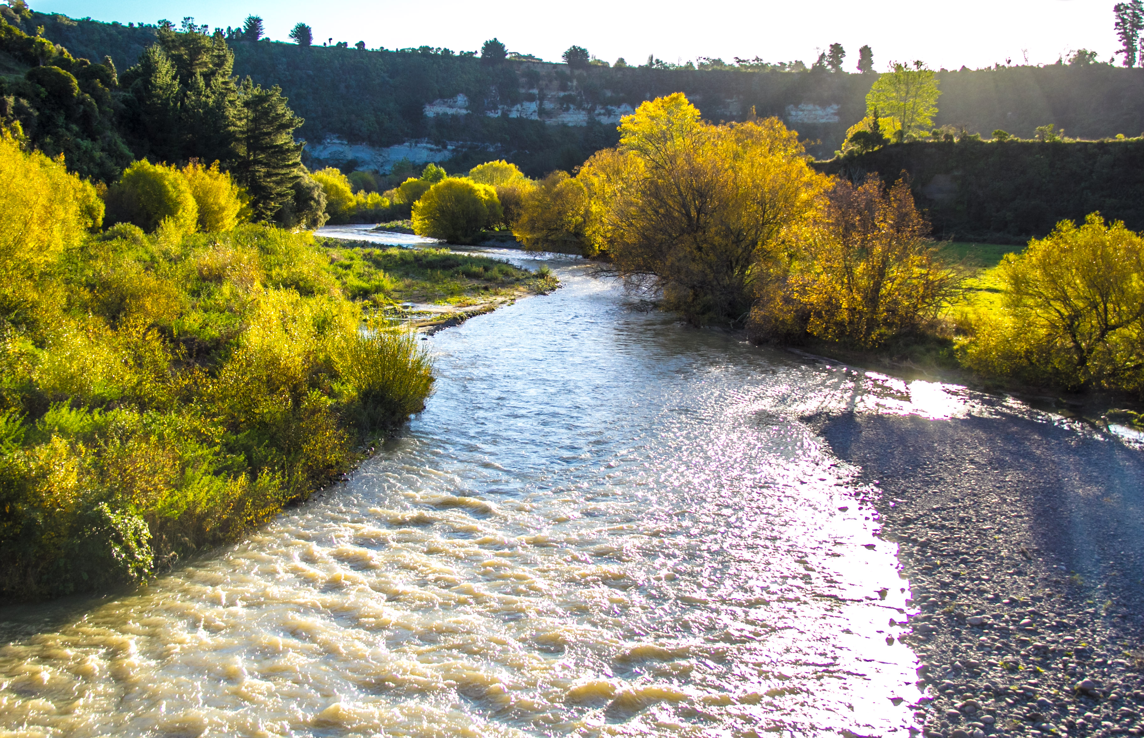
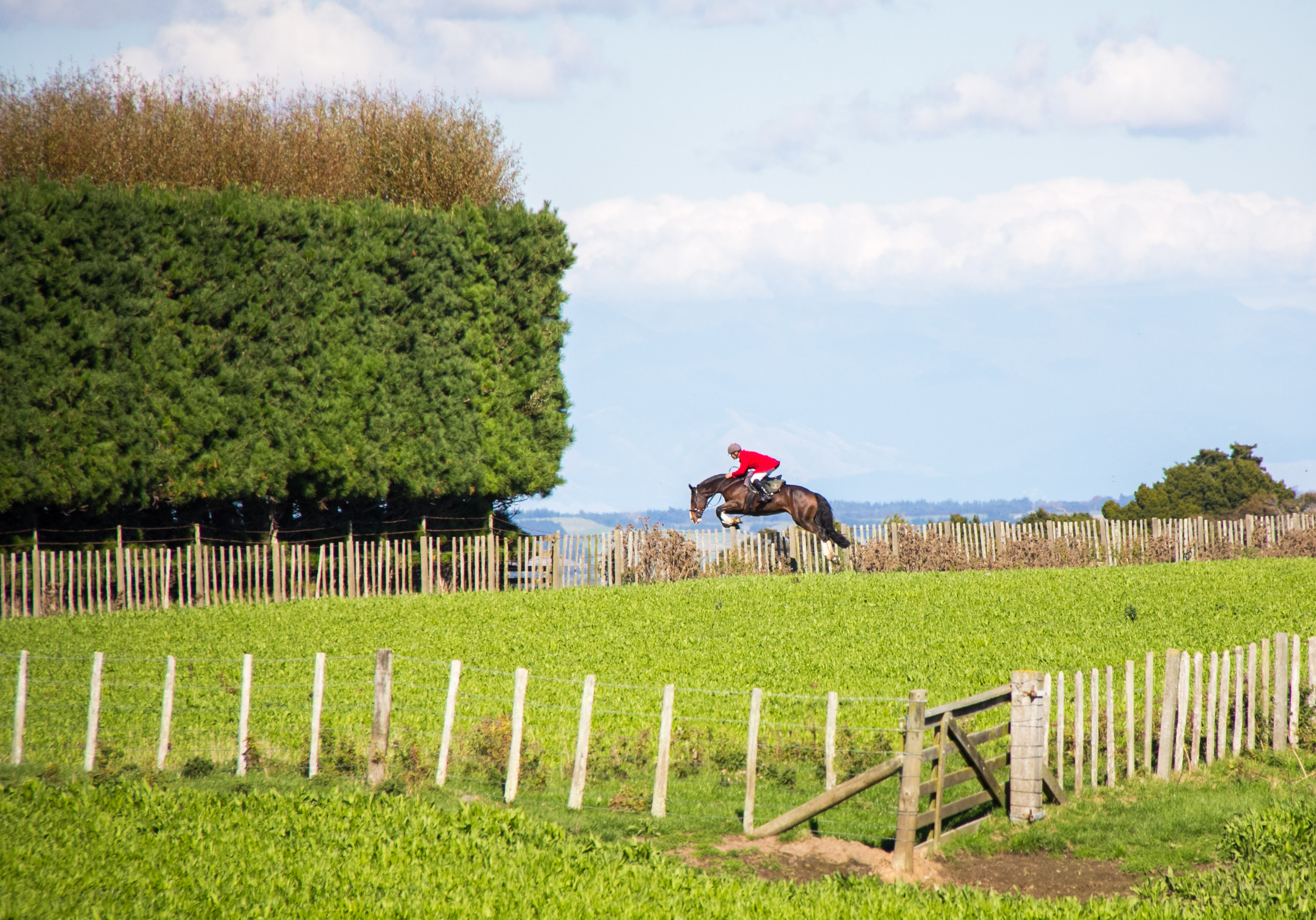
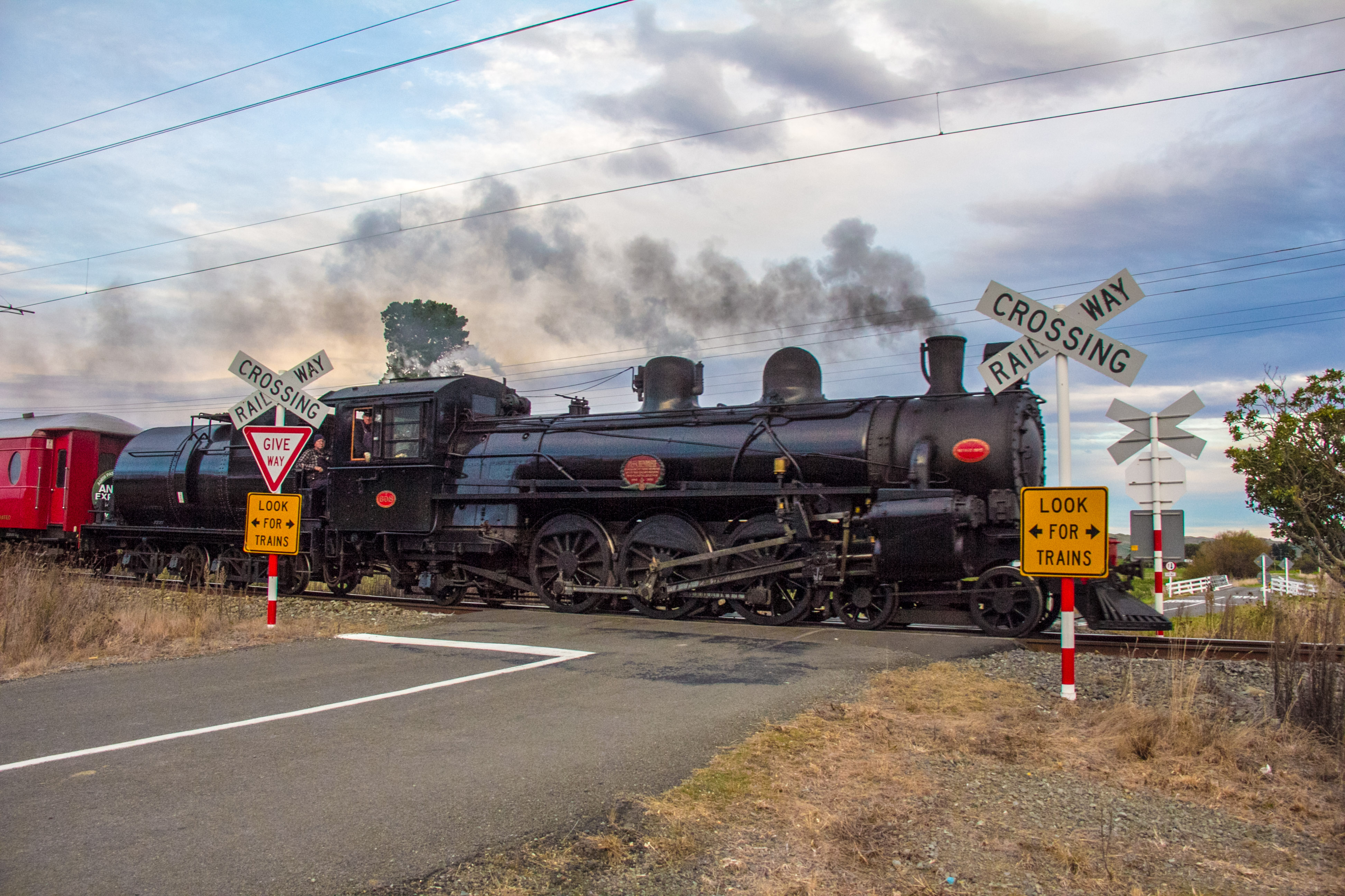
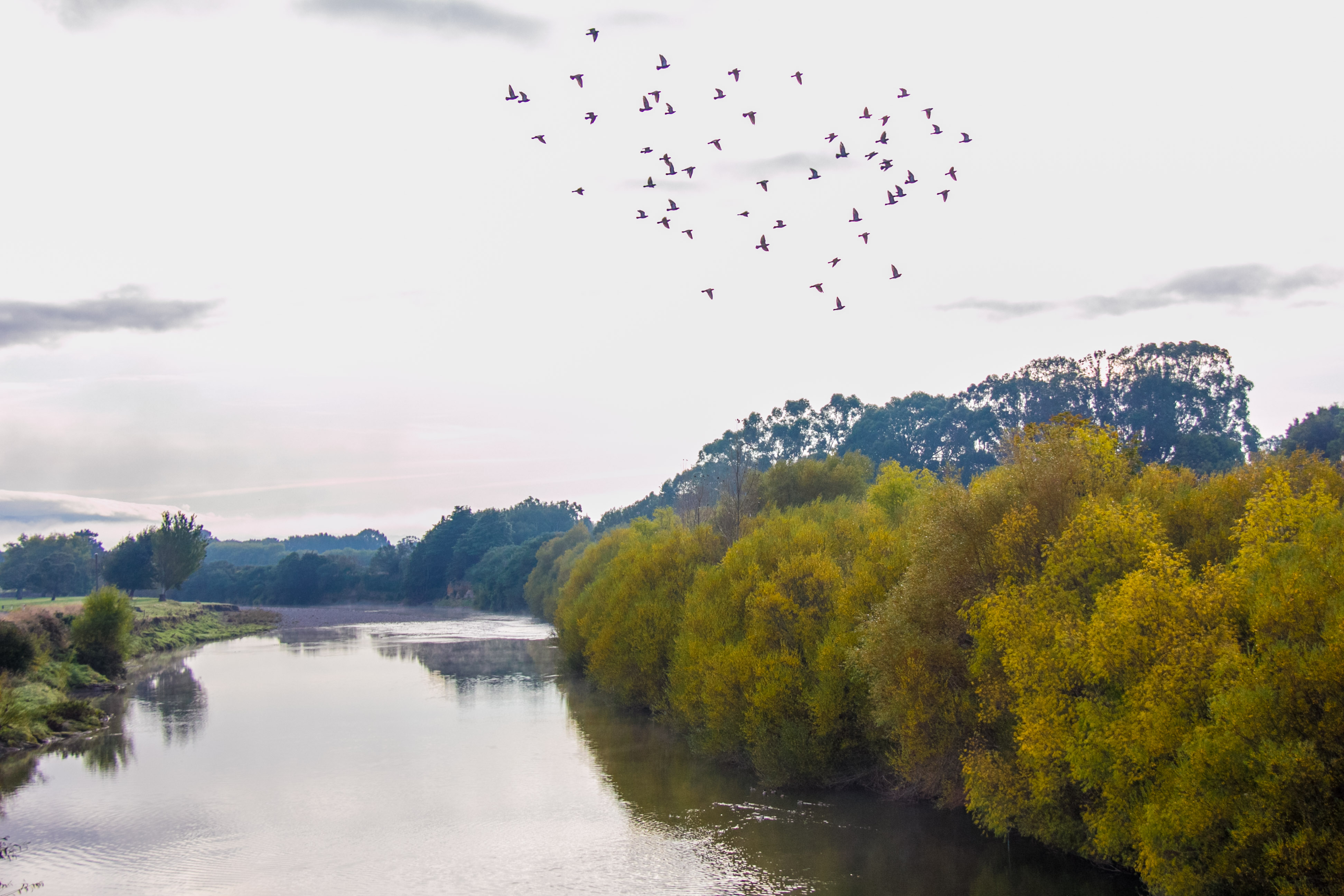
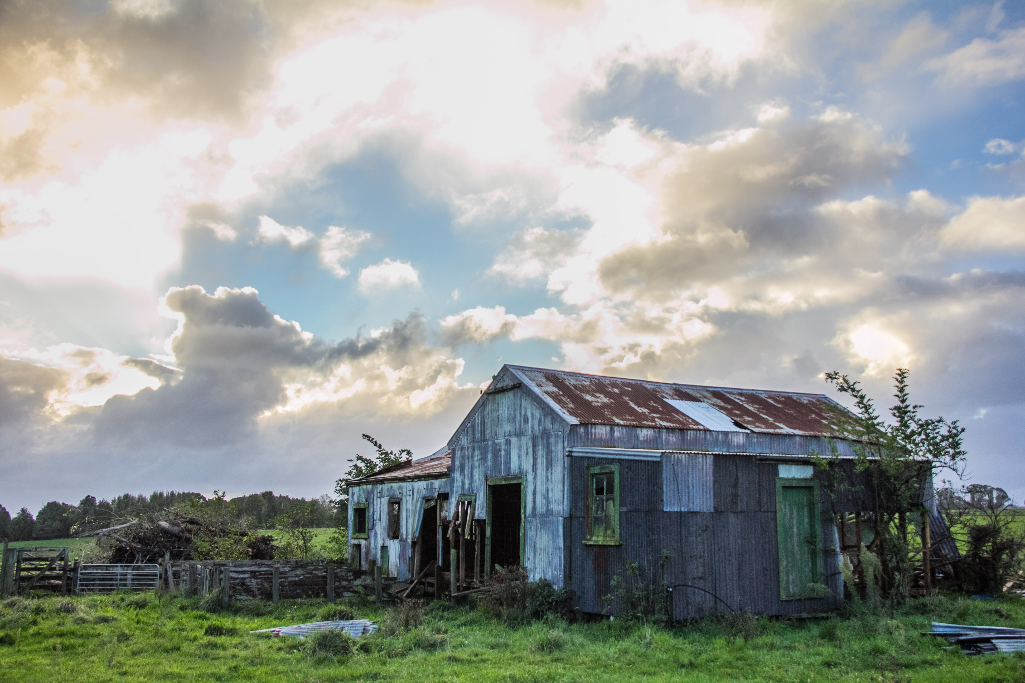
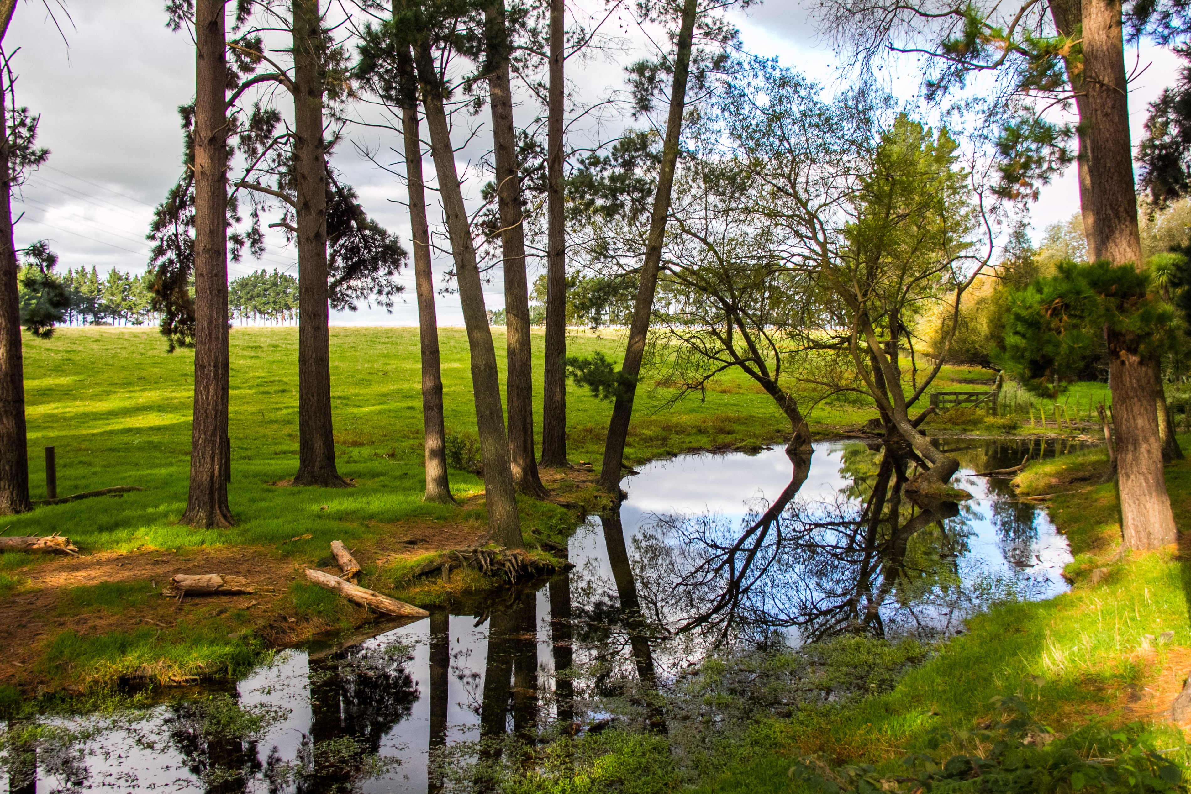
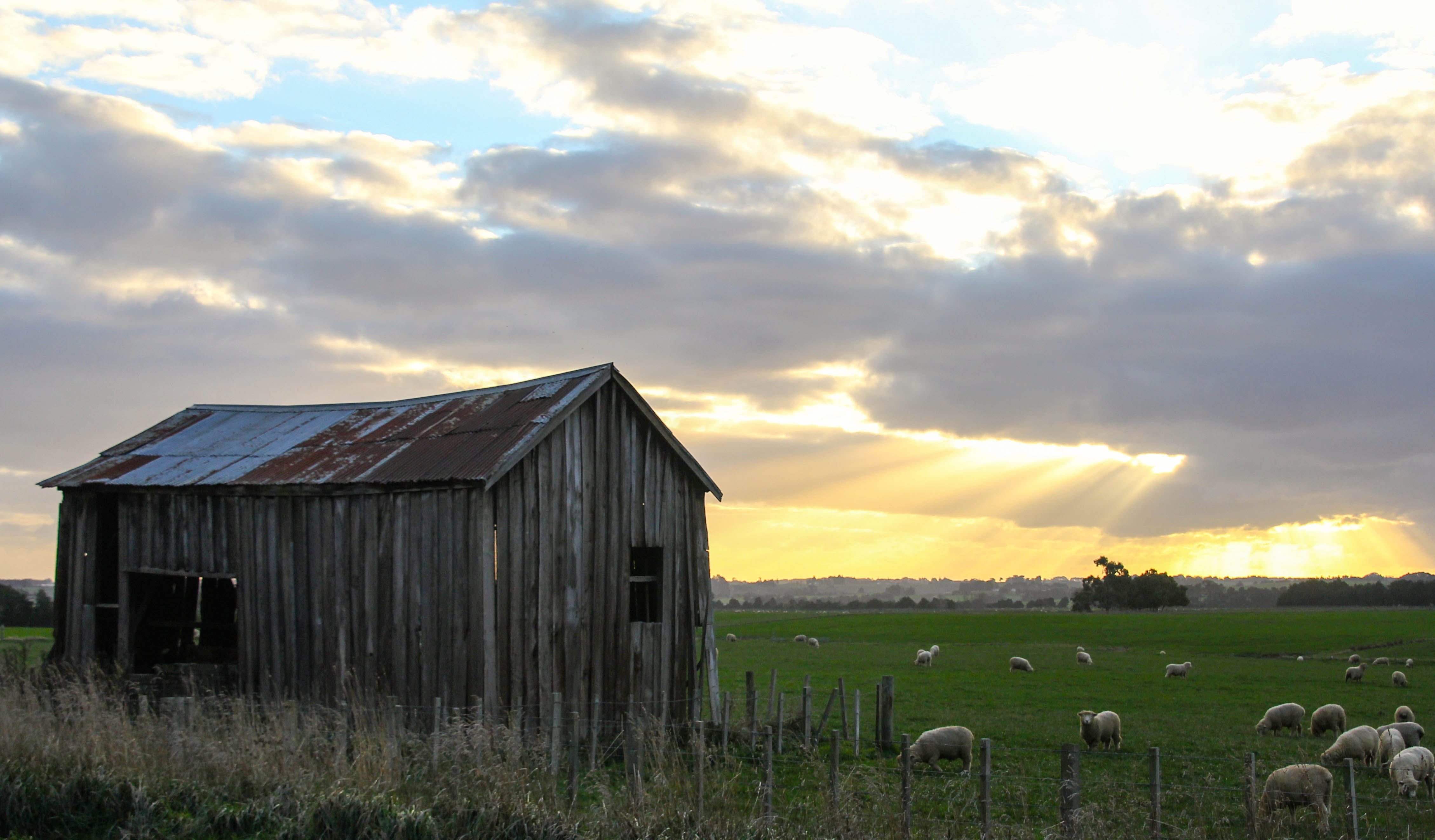
St Martins Church, I walked around the grounds for ages to get the spire in the sun shot.Country road, take me home…I don’t even know what this river is called, it runs down towards Pahiatua off the Manawatu River.Looking straight into the sun near Apiti, yes Apiti.Nobody has ever taken this shot before. It’s a gully. I like a nice gullyI have no idea what you might call that atmospheric effect. Like a reverse rainbow sort of thing. Seen above the Wairarapa Hill countryDerelict woolshed, near SH54, the Vinegar Hill road. Nobody knows why it’s called Vinegar Hill.That’s Mt Ruapehu, from Foxton Beach. just the 230 kilometres away. We have clear skies in New Zealand.Sunset from Foxton Beach. It’s the best bit of Foxton Beach.Huntsman from the Rangitikei Hunt Club. They don’t actually hunt anything. They just get dressed up and ride about in the scenery.High in the Tararua Ranges. I drove up the creatively named Heights Road to get here.Who doesn’t love to stumble across a Steam Train passing through.The sign says look for trains, I found one.There’s Mt Ruapehu again. From about 150 kilometres away. It’s awesome.I disturbed some pigeons when I stood on their bridge. They kindly made my shot more attractiveDawn reflecting on the woolshed, pretty awesome. We have impressive dawns here. Sunrise in another language.Barn, needs work.I drove up a road called Heights Road. It was very high. I believe there’s also regularly a stiff breeze up here.Low cloud in the Wairarapa. Near Pahiatua. Autumnal.Small pond nowhere in particular. I liked the reflections.
Apparently Pam arrives tomorrow, if she does. That’s Cyclone Pam of course. There were pretty amazing clouds developing in the North and East of where I live so I thought I’d pop out and take a few photos. These were taken in the space of an hour. Near my place.
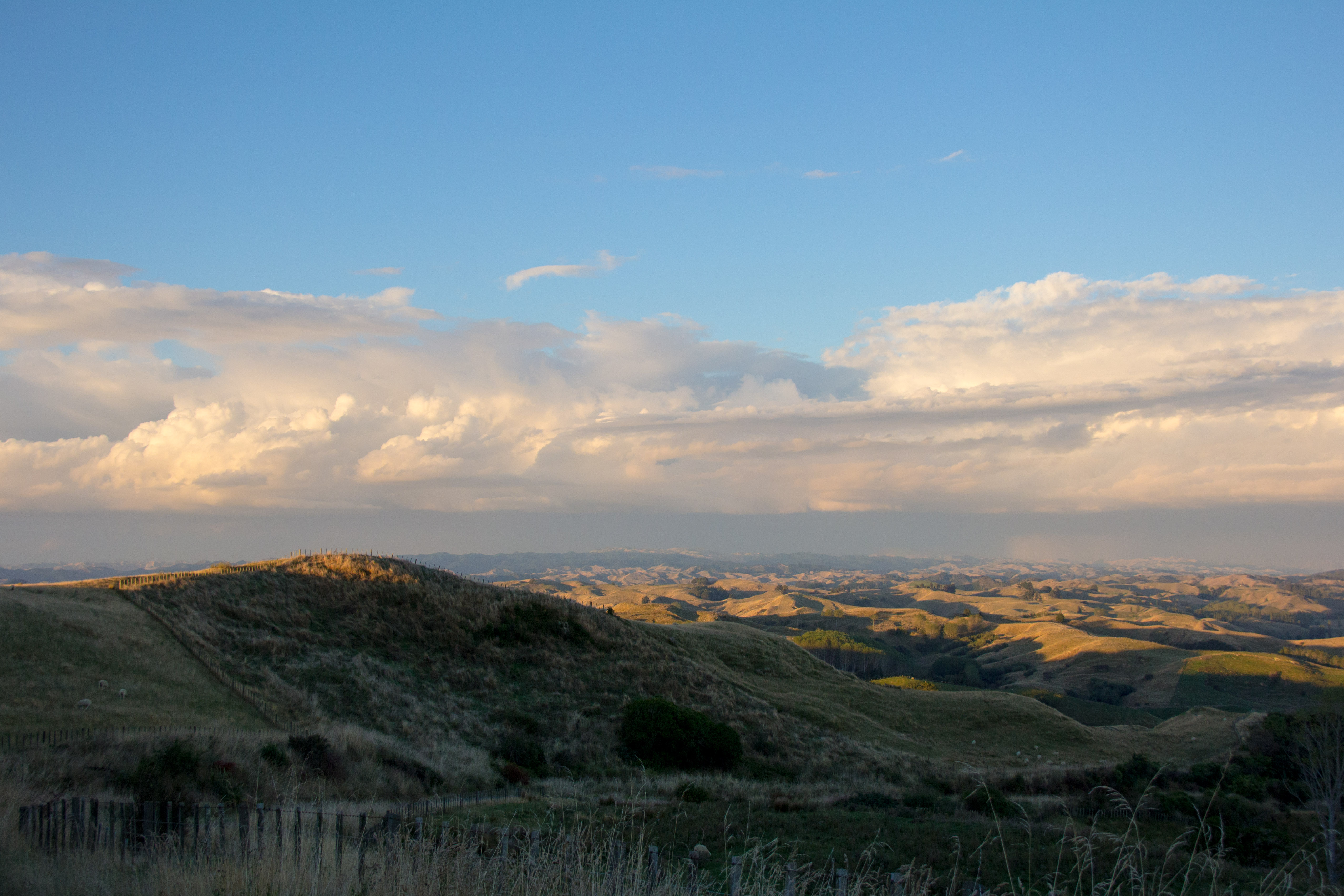
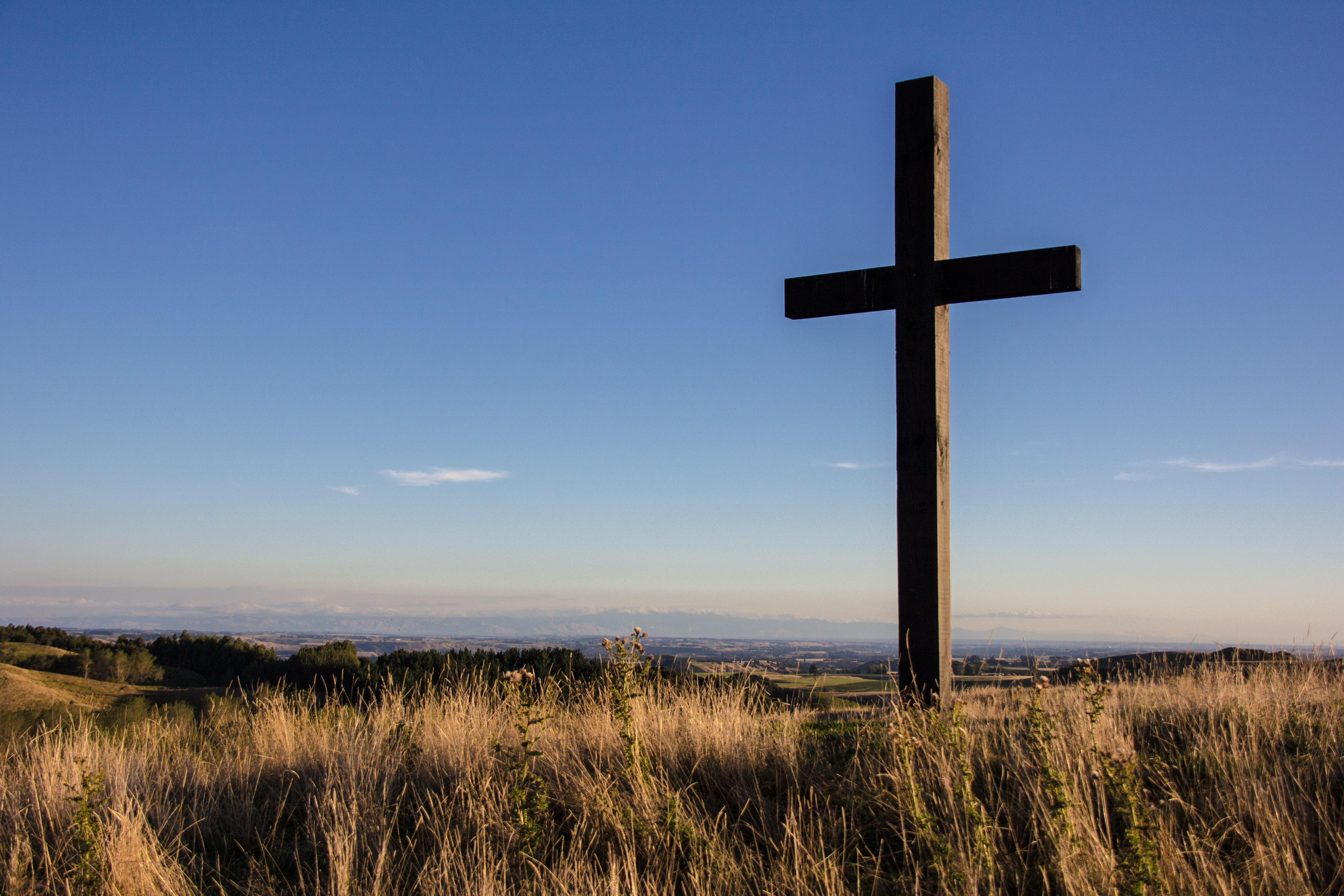
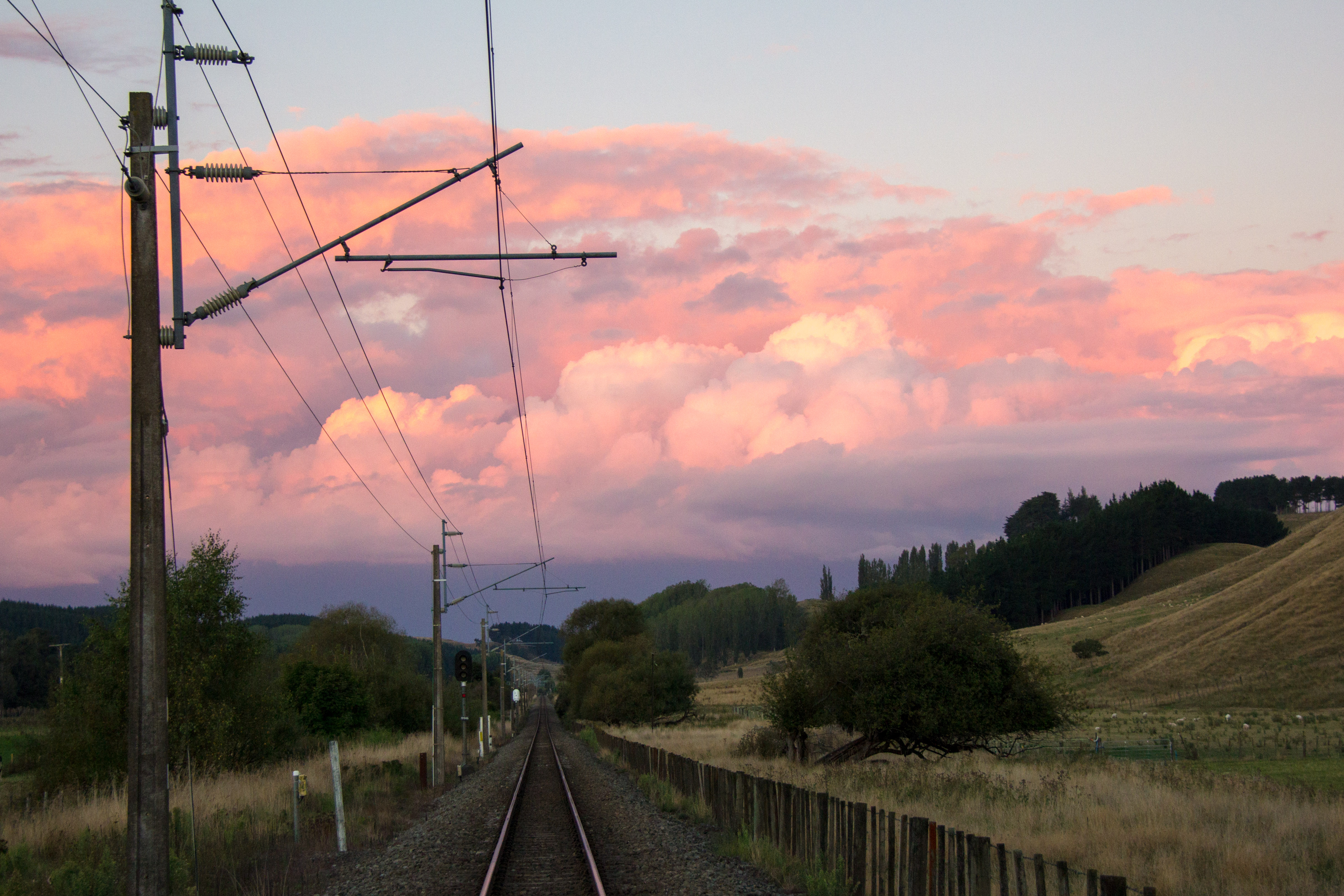
Look North, early evening, lumpy land, cool clouds.Cross. This is the monument to a local man who loved the area.What’s your beef? You can also see the Te Apiti Windmill Farm away in the distance at the bottom right of the image.LinesYards.Ducks crossing. There was a cool weather effect in the distance. Then some ducks flew through the shot which is cool.Without the ducks, just layers of land and evening cloud, with rainbow type thing.Rule of thirds, New Zealand style. Looking East towards the Manawatu.The local high ground. Trig on Mt Curl.Looking north, towards Hunterville.Looking up the line. The Main Trunk Line. New Zealands main rail line. From a crossing on a farmers land in the Rangitikei.
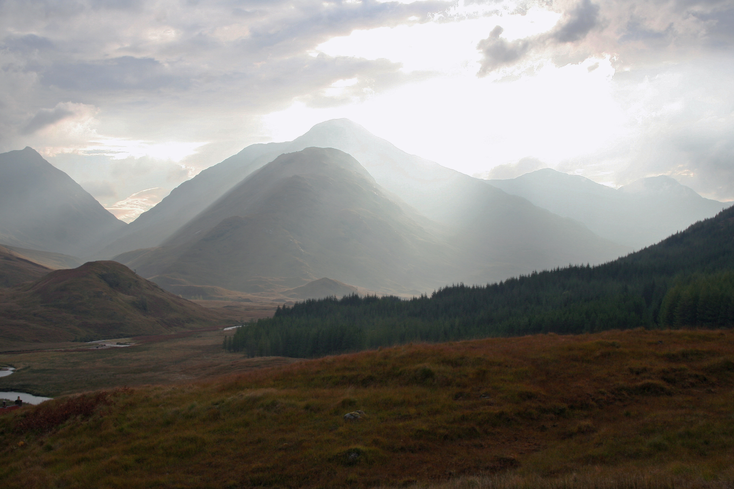
Old Corrugated iron School house on a remote Scottish Estate. Blown away in the last big storm up there. Many a child would have cheered had they known.Sun breaks through over the distant hills. Western Highlands of Scotland. Last known sighting of sunlight in Scotland.Bothy on the glen. Western Highlands of Scotland. As accommodation, the spartans would have blanched.Loch Arkaig, western Highlands. That disturbance in the water is most likely Nessie.Western Highlands. Scotland. I cropped out the pile of rubbish by the fire pit.Rainbow on the glen. Western Highlands. Not Sky Fall.
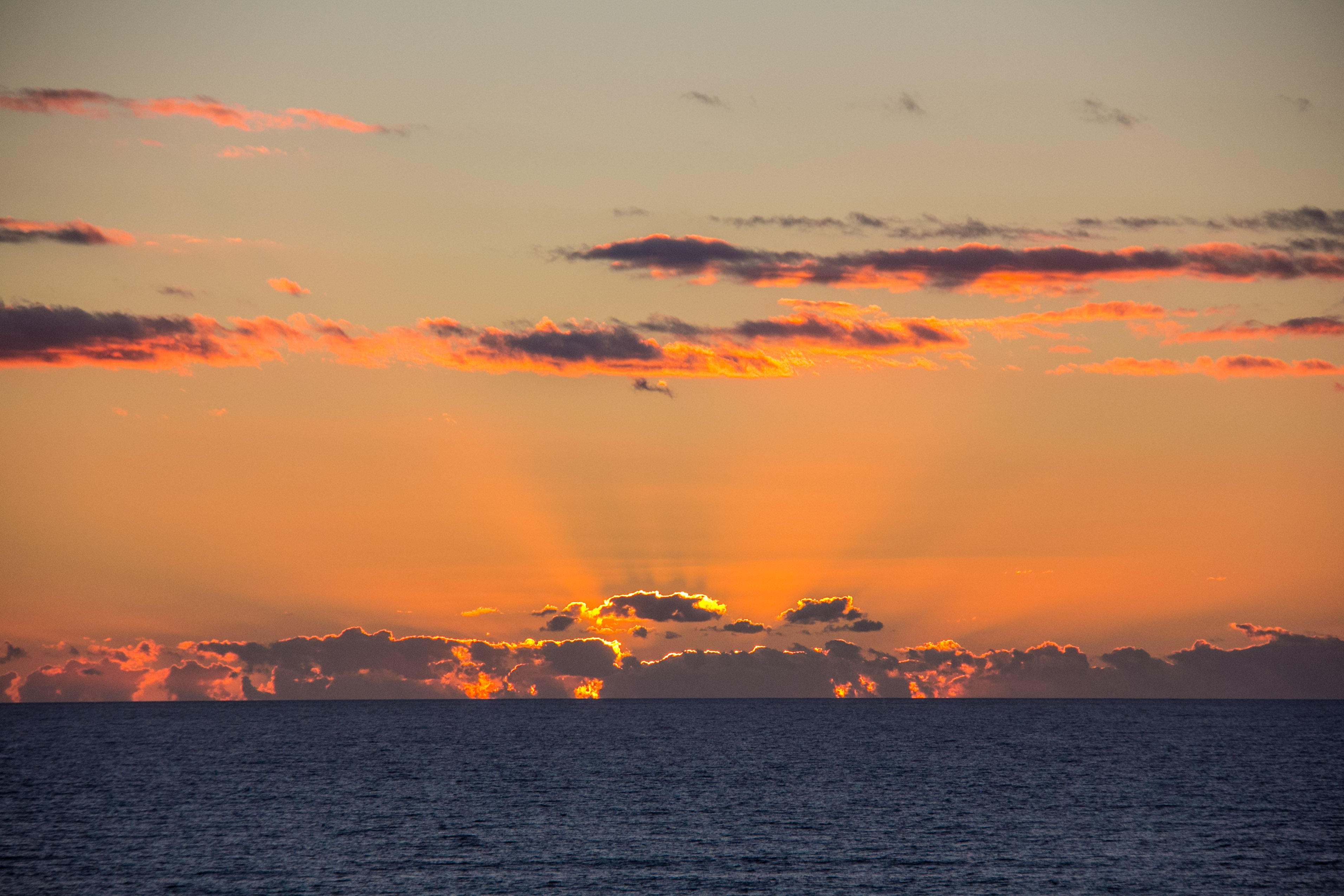
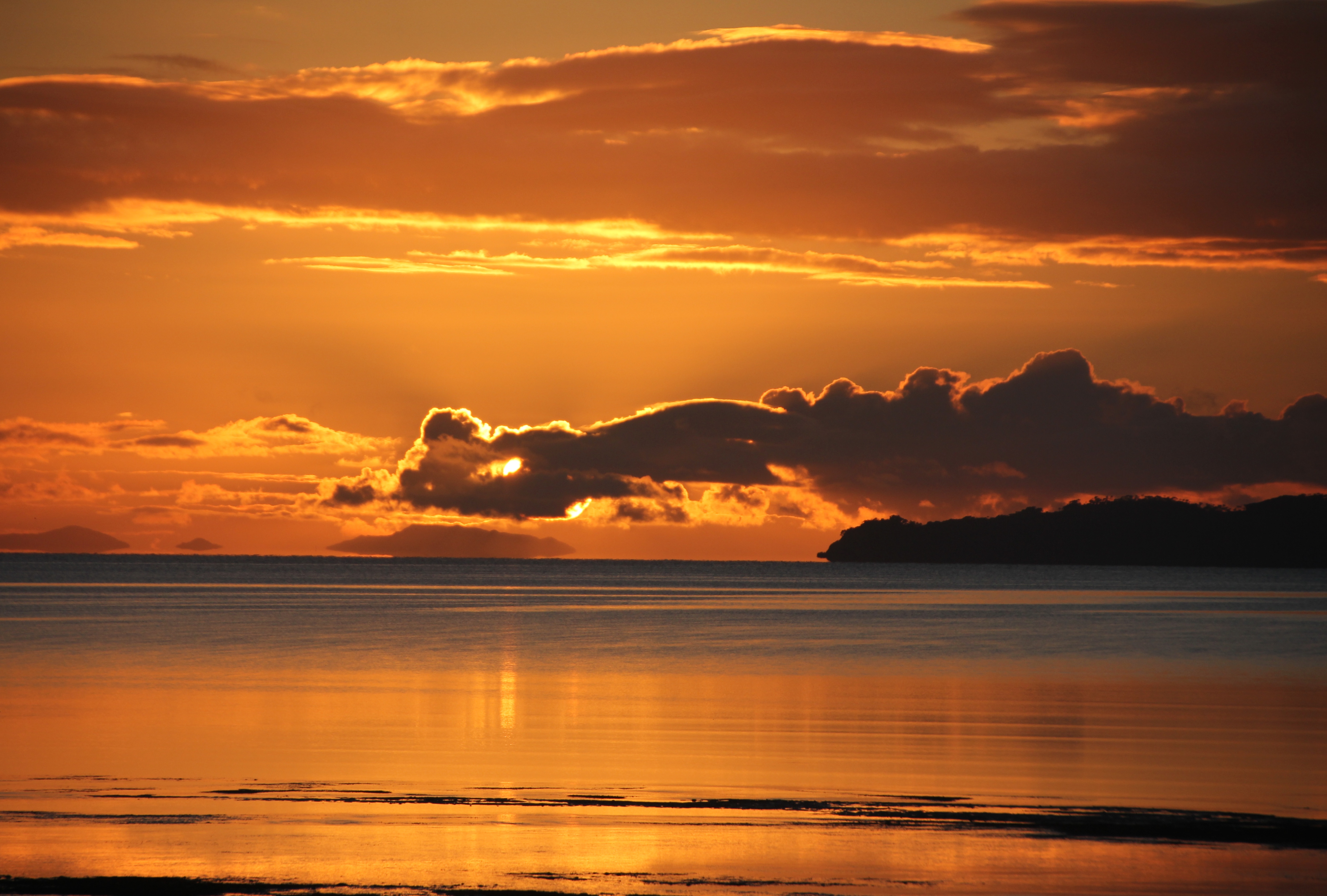
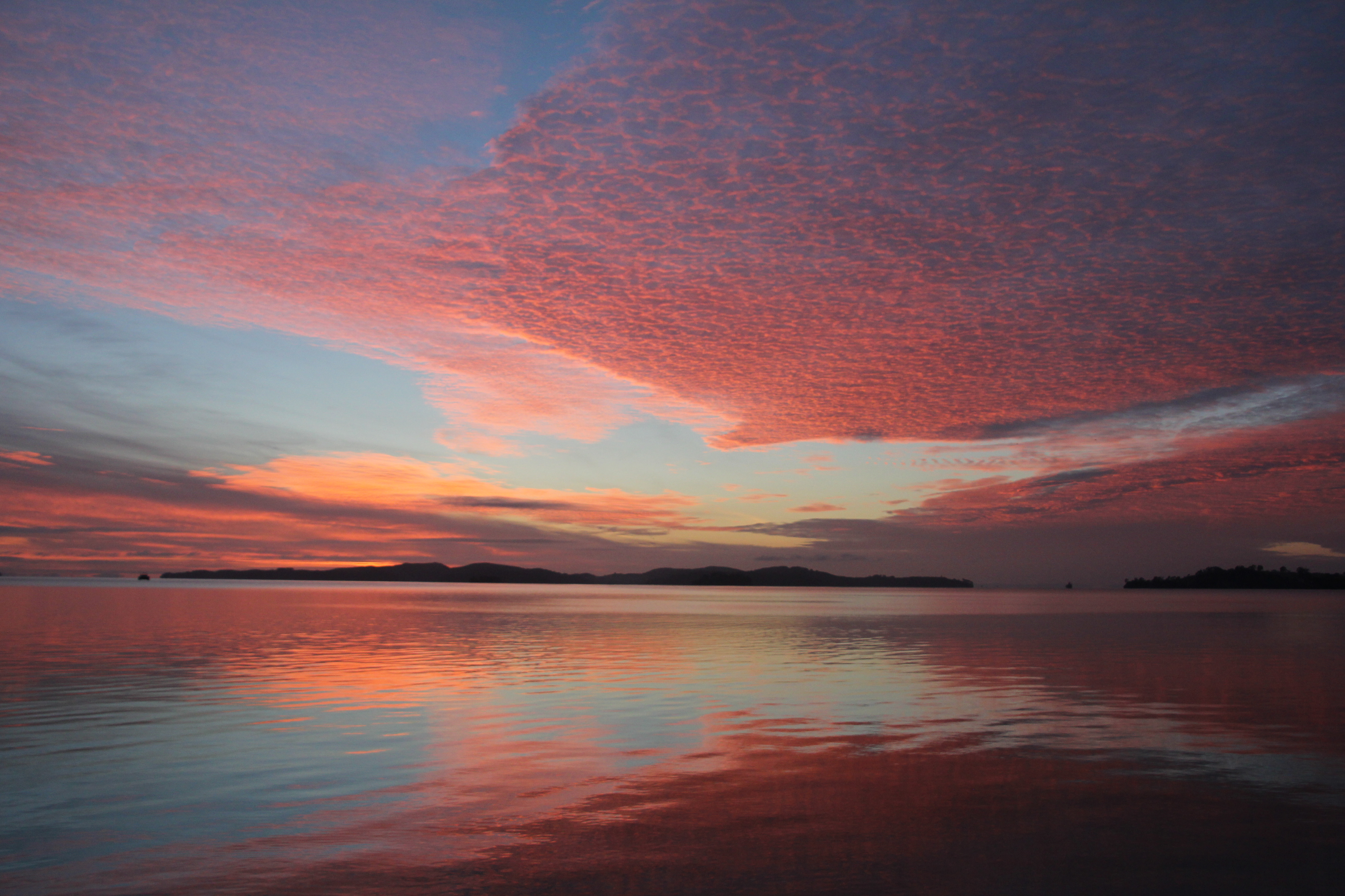
The dawn of 2014, 6:15am January 1st. The year appears calm in it’s arrival.June 7th, 2013. An unremarkable day arrives in a most splendid mannerJune 6th 2013. The day before the day before, up there, above this one. I never get sick of this stuff.The day dawned so awesome, even the seagull stopped to watch. You try getting an inquisitive early morning gull to turn it’s back on you.Peaceful morning in Kawau Bay. Still, the stilts have had enough.The day was going to be rough, possibly. Seagull flies into the shot. I have this exact same image without the seagull. Some prefer it that way.Just orange. Most people lie in bed and miss out on this sort of thing.Duck shooting season started at this very moment in 2013. The duck was probably better off where he was in Kawau Bay.Red Sky in the morning. It was a very nice day though, so there goes that old wives tale, or sailors legend, or something.
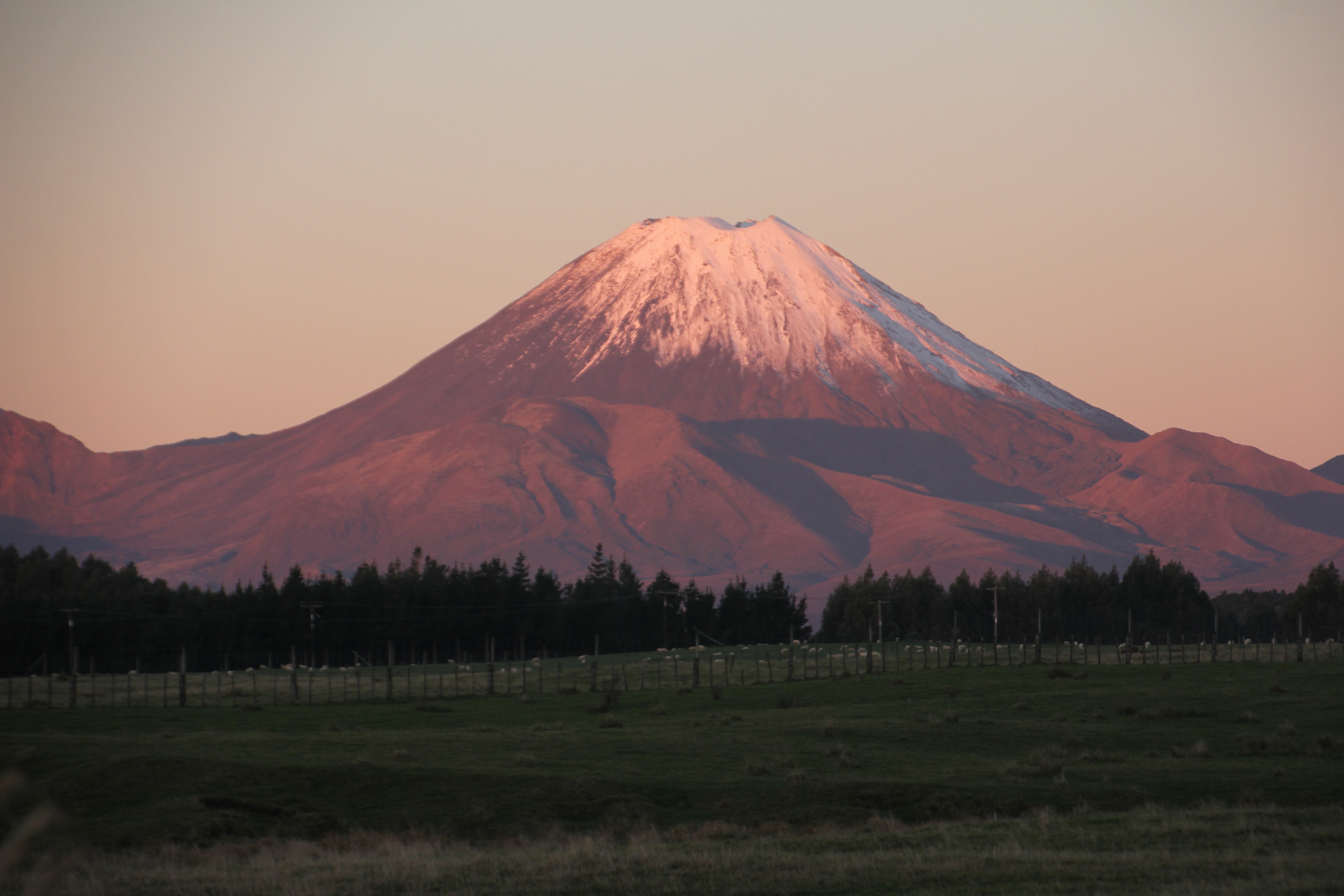
Ruapehu and Ngauruhoe from the road heading for Pipiriki, past Raetihi. On the way to the Wanganui River road. It’s all tar sealed now you know?Peering through the rail underpass at Mt Ruapehu. Not much of a risk of being run over by a train in New Zealand.Taken from SH4 at dusk, Late Autumn, late evening. It’s a pleasingly symmetrical mountain.Taken from National Park village at dusk. That’s Mt Ngauruhoe again. That was the actual colour of the sky.Just taking pictures of Mt Ngauruhoe, while Standing in the middle of SH1. You can do that in New Zealand. Take pictures in the middle of the road. Not because it’s allowed, but because you can.Clouds, not smoke above Mt Ruapehu. It’s a 10,000 ft, give or take, live Volcano.Because Mt Ruapehu is so very big, you can see it from very far away. Like this from over 100 miles, or 160 kilometres distant.
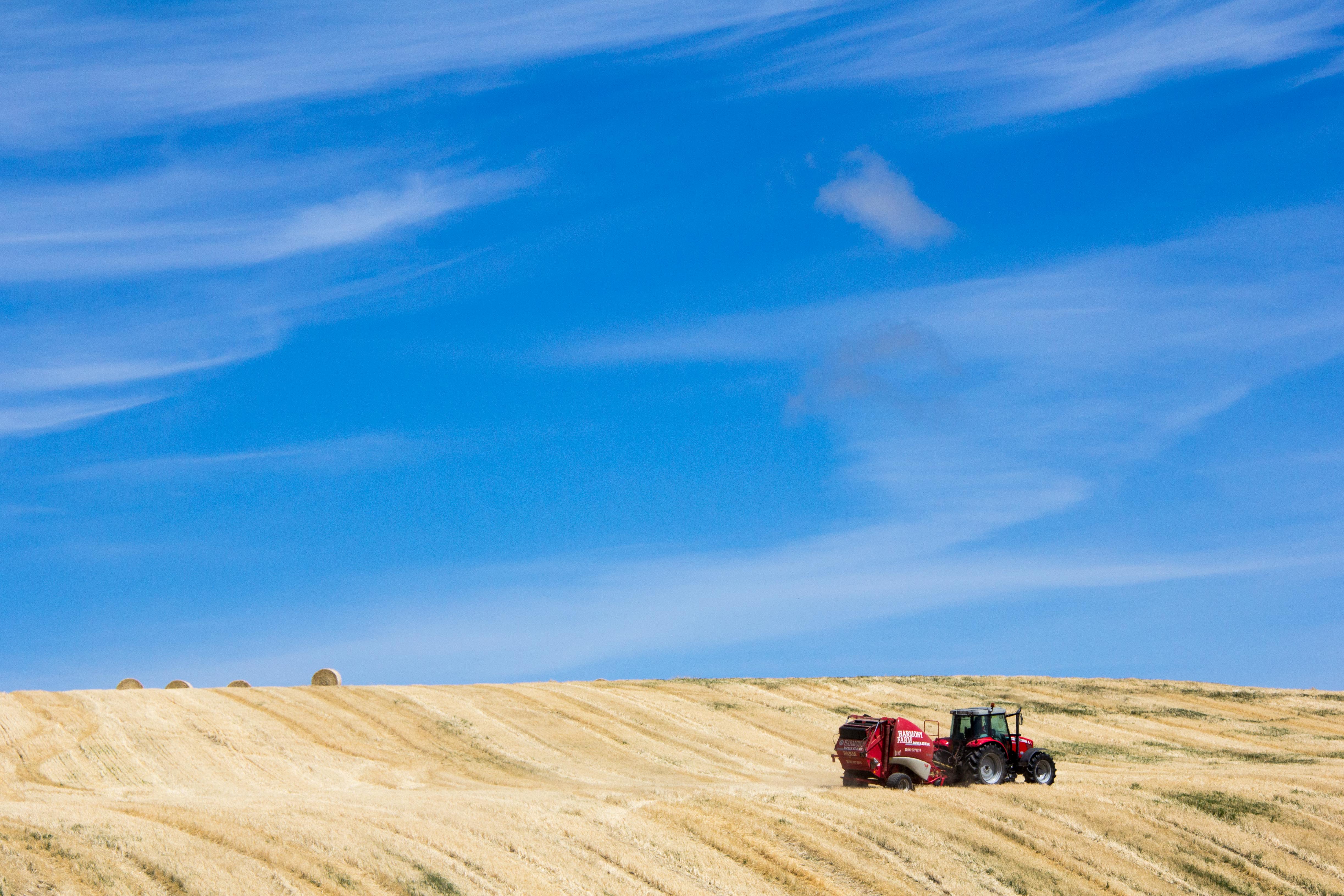
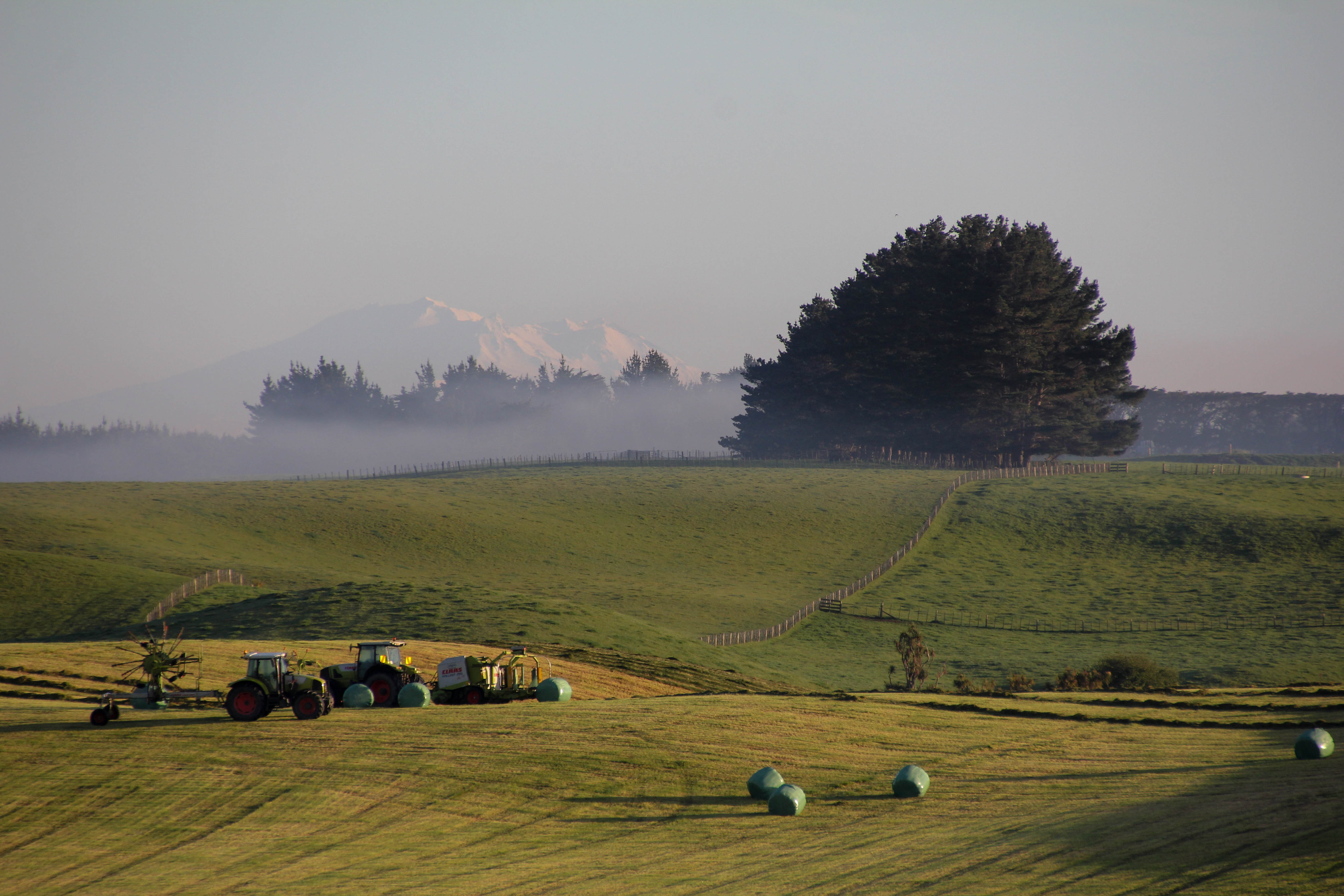
Central North Island, near Hunterville, this scene reminds me of a song by the New Christy Minstrels called ‘Green green’. I wonder why?Reflective Rangitikei. Near Hunterville, no Hobbits here. Just a cow having a lie down.Hay baling. I hated doing hay. Worst job of the summer. Mind you, the hay paddock can be a scene of some pretty epic summer colours if someone else is doing the work. Which is the best way to get the hay in.Autumnal Barn beside SH54, Vinegar Hill. Yes we do have autumn in New ZealandNot Mt Doom, Mt Hikurangi, East Cape. Tokomaru Bay is to my right. Quite the contrast on the snowy mountain in the distance.Early morning in the hay paddock with Mt Ruapehu, over 150km’s distant. They don’t get up early round here. Note the absence of work taking place.The Rangitikei River. One of our finest, most beautiful winding rivers. Part of it was used as the Anduin River in the Lord of the Rings films. This information seems to have bypassed most of the LOTR fans who head straight for Hobbiton (which is in the Waikato. I’m pleased to say I had to look that up) and the South Island. Not so many Hobbit geeks wandering around the Rangitikei.Old barn with the evening sun striking through. Between Kimbolton and Cheltenham. Sheep are unimpressed with an impressive sky, they prefer grass.The derelict cottage beside SH1 near Marton. Early morning light. With sheep.Fletcher flies low over a fenceline in the Rangitikei. Bet he did that on purpose, to show off.Sun set on the sheep yards taken looking west from Mt Curl in the Rangitikei. Mt Curl is more like a hill than a mountain.The Te Apiti Windmill Farm on the hills near the Manawatu Gorge. Many people hate windmills because they are an ugly blight on the landscape. If you’ve ever seen this windmill farm, you might change your mind. I think the word you might choose over ugly, is awesome. Even though awesome blight on the landscape still doesn’t sound like a good thing. They are an amazing sight and apparently also generate an awful lot of electricity. Which is a good thing. There are more than 3 windmills…See, more than 3, there are dozens. Most of them are behind me though.